CAGE data manager Fabio Sarti partners with IT experts to enable easy access to what was formerly a frustrating and time-consuming experience
Traditionally, there has been a trend towards secrecy when it comes to revealing the details of accumulated data and data analysis at universities and research institutions. This applies not only to restricted academic journals that require large fees for access, but also to raw data collected through research projects and never published.
There has been a movement in recent years, however, supporting the idea that publically funded research in Europe should be more easily accessible. It is not only fair to give the public access to something that it has paid for, but open access to research also encourages better-informed and more groundbreaking results. The Norwegian government heavily endorses this movement, and The Research Council of Norway is at the helm in assuring that Norwegian universities and research institutions accept and comply with these new standards.
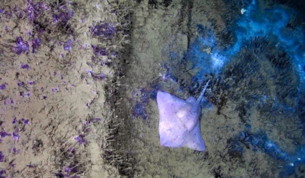
In 2016, the Centre for Arctic Gas Hydrate, Environment, and Climate (CAGE) decided to start a pilot project at UiT The Arctic University of Norway in developing software that would allow easy access to our raw research data. This mostly includes data from Arctic cruise expeditions, such as samples of the seafloor sediments and water, seismic survey data, observatory data, bathymetry mapping data, and image/video data. Fabio Sarti was hired as the project manager for the job in cooperation with the IT department at UiT and Avinet, a consultancy company specializing in map and database solutions.
At its most basic, this information is available in what amounts to hundreds of tables and potentially hundreds of thousands of lines of data. While quite comprehensive, navigating these spreadsheets is a time-consuming and frustrating way to find and analyze specific details. An alternate method in accessing the information is through a program that sorts the data into a filing system – an improvement to be sure, but still somewhat cumbersome for the average viewer.
Finally, Fabio and CAGE administration decided that a map interface for the tracking of individual cruise expeditions by illustration would provide the most user-friendly experience in exploring the data. These cruise navigation tracks show the journey of the CAGE scientific cruises from beginning to end, and can be selected at any point in its travels. The user then obtains further information about the cruise, such as surveys and activities, chief scientists, dates of the cruise, any associated publications, downloadable cruise reports, and more. This map and corresponding data are now accessible through CAGE’s new (as of February 2019) website.
Although we are well on our way in moving towards an open-access model at UiT, not all raw data collected by CAGE is currently available for public consumption. Data receives a DOI (Digital Object Identifier) before publication so that future scientists are able to give proper credit to the university or institution behind the research, and assigning these DOIs is a time consuming process.
In the meantime, CAGE data manager and project leader Fabio Sarti has been at the forefront of a major accomplishment. The CAGE map interface has inspired at least two other similar interfaces at UiT: the department of geoscience’s ‘Core Repository’, and the department of Arctic and marine biology’s ‘Whale Tracker’. We hope that this is only the beginning, and that our expedition into the world of data management will inspire other entities inside and outside of Norway to provide easier access to research results towards a better future.
Text: Jessica Green
Illustration: Torger Grytå/Colourbox.