
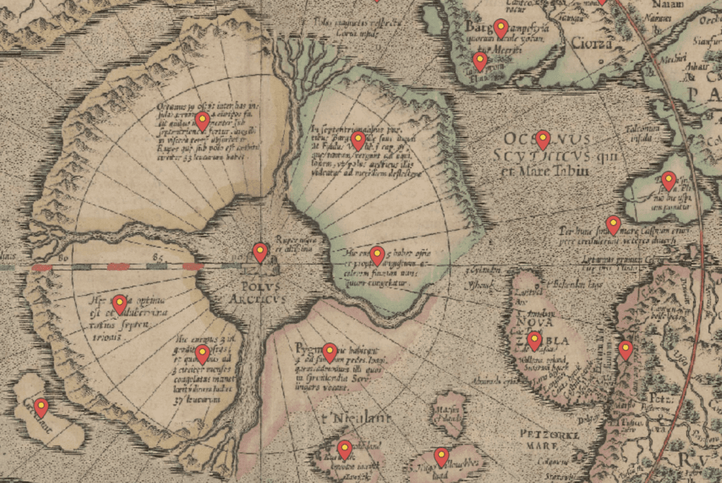
Our scientists have many talents besides research. Henry Patton, for instance, has a talent for maps. He has created an interactive journey through the first ever map of the Arctic Ocean and the circumpolar area, made by Gerard Mercator in 1595. Patton’s take on the map is an interesting collection of past myths and contemporary knowledge. It is overlain on top of the current map of the Arctic Ocean, providing an interesting perspective on history of science.
Check out the interactive map here: Mercator´s 1595 view of the Arctic