
Sammendrag
Mbali Kau shares her experiences from her internship at the University of Bergen
Mbali Kau
My name is Mbali Kau and I just completed my Bsc in life and environmental sciences degree with a double major in geology and geography at the University of Johannesburg, South Africa. I got the opportunity to partake in an internship at the University of Bergen, Norway. The aim of the internship was to reconstruct a few glaciers in Norway, using current and historical drone imagery and interpret if the glaciers have been retreating or advancing.
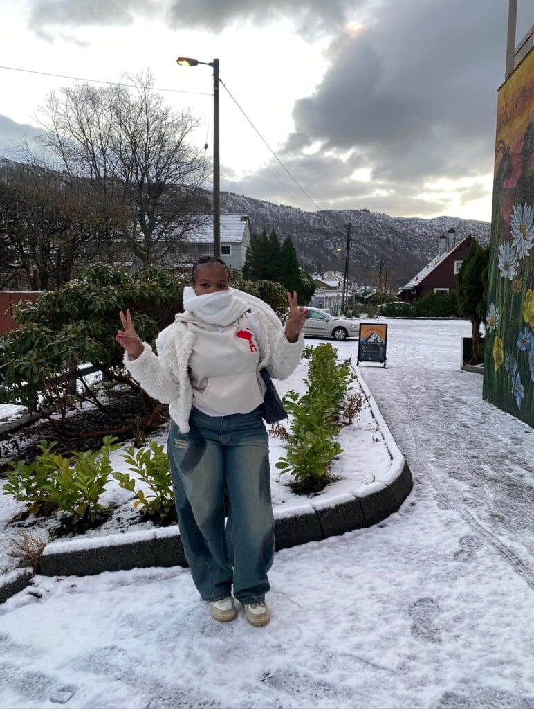
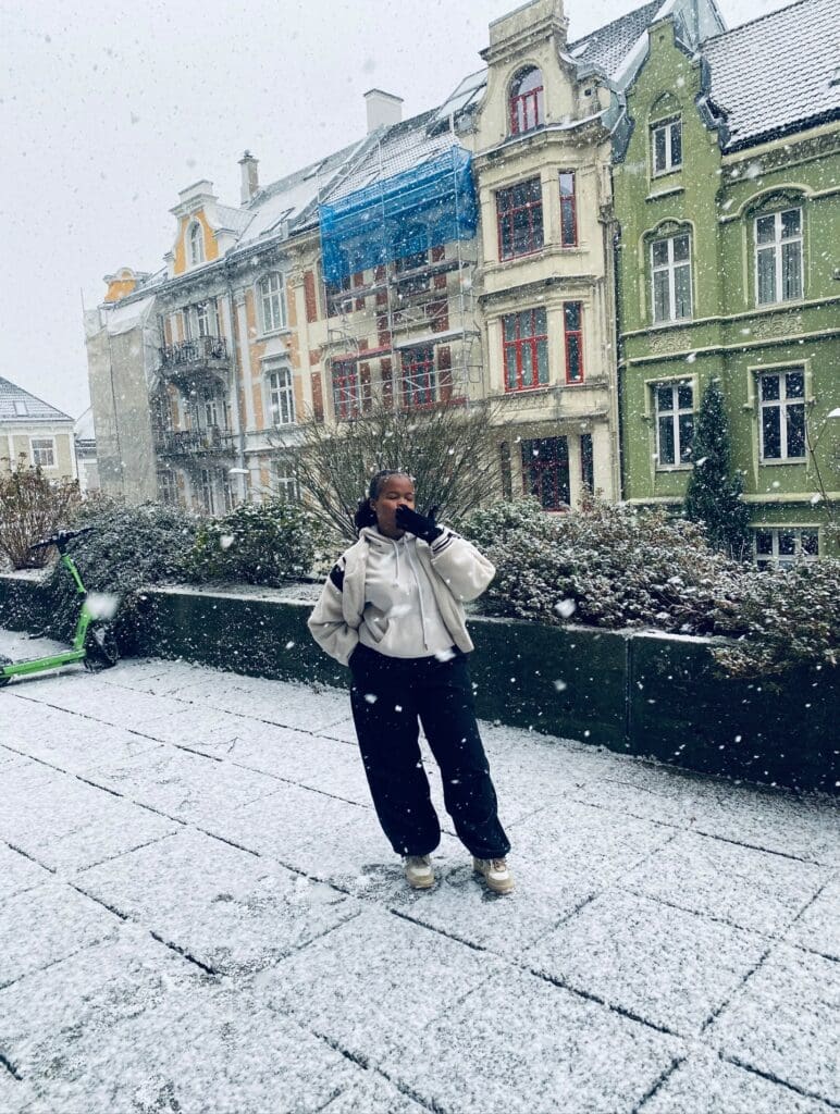
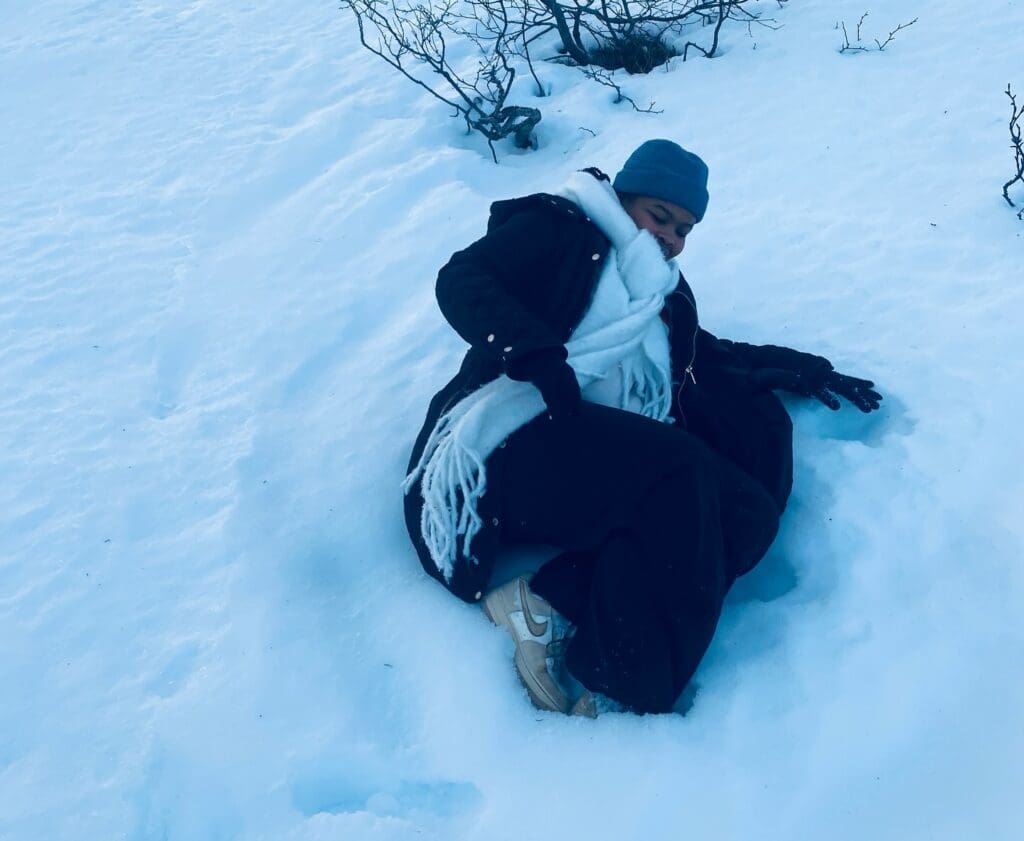
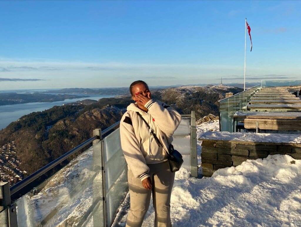
My daily life during the internship followed a structured but flexible routine. During the first few days of our arrival in Bergen, we were welcomed by light snow, which was quite an experience. Every morning, greeted by darkness and either rain or snow, we took a bus from our accommodation to the university. We set weekends to explore the city, like visiting mount Ulriken, which is the highest mountain in Bergen. There you get a full view of the cityscape. We also got to experience the Christmas market among a few, since it was during the festive season. Not forgetting the Christmas dishes we had, like the Norwegian rice porridge and a brown cheese and jam sandwich.
What amazed during the my stay in Bergen was how safe it was and how convenient the transport was. Moreover, even in the cold weather the buildings are properly insulated that you literally take off your jackets when you get inside, so we didn’t experience that much coldness unless we were outside.
At the beginning of the internship we received tasks from our supervisor and we planned out the workflow. The first few days were spent on familiarising ourselves with the datasets and processing drone imagery and subsequently producing models for analyses. A typical day included:
- Processing drone imagery of glaciers (Austerdalsbreen, Nigardsbreen and Bøyabreen) in Agisoft Metashape.
- Creating orthomosaics and digital elevation models(DEMs)
- Mapping crevasses in ArcGIS Pro, using the orthomosaics
- Using xDEM in Python to compare the DEMs and calculate the volumetric changes of the glacier overtime, using historical drone imagery.
And in between, we reviewed the results and discussed our progress with our supervisor and some of the masters and PhD candidates were of great help too during that period.

During the internship I applied and developed new skills. These include technical skills, where my prior knowledge of GIS software came in handy and using software I wasn’t familiar with as well. My background in geosciences also played a major role throughout the internship. Knowledge from some of the modules I had in geology related to glaciology made it easier to understand glacier processes and data analysis processes. Understanding how glaciers change overtime helped me when modelling the volumetric changes and crevasse patterns. This internship helped me strengthen the link between theory and practical work.
Other skills which I think were essential included time management, communication and problem solving because we experienced some challenges but with the help from our supervisor and other students we were able to overcome them.
My overall highlight was our trip to Voss, where we got the chance to collect the drone imagery of the ice cap ourselves using the dji drone and processing all the data I collected.
Overall, the internship was a positive and valuable experience . I gained practical experience working with glacier drone imagery, learned how to use Agisoft Metashape and xDEM and I can say I have developed some confidence in handling real research datasets. This experience has strengthened my interest in geosciences and provided me with skills useful for future work in my career field.