Blog
-
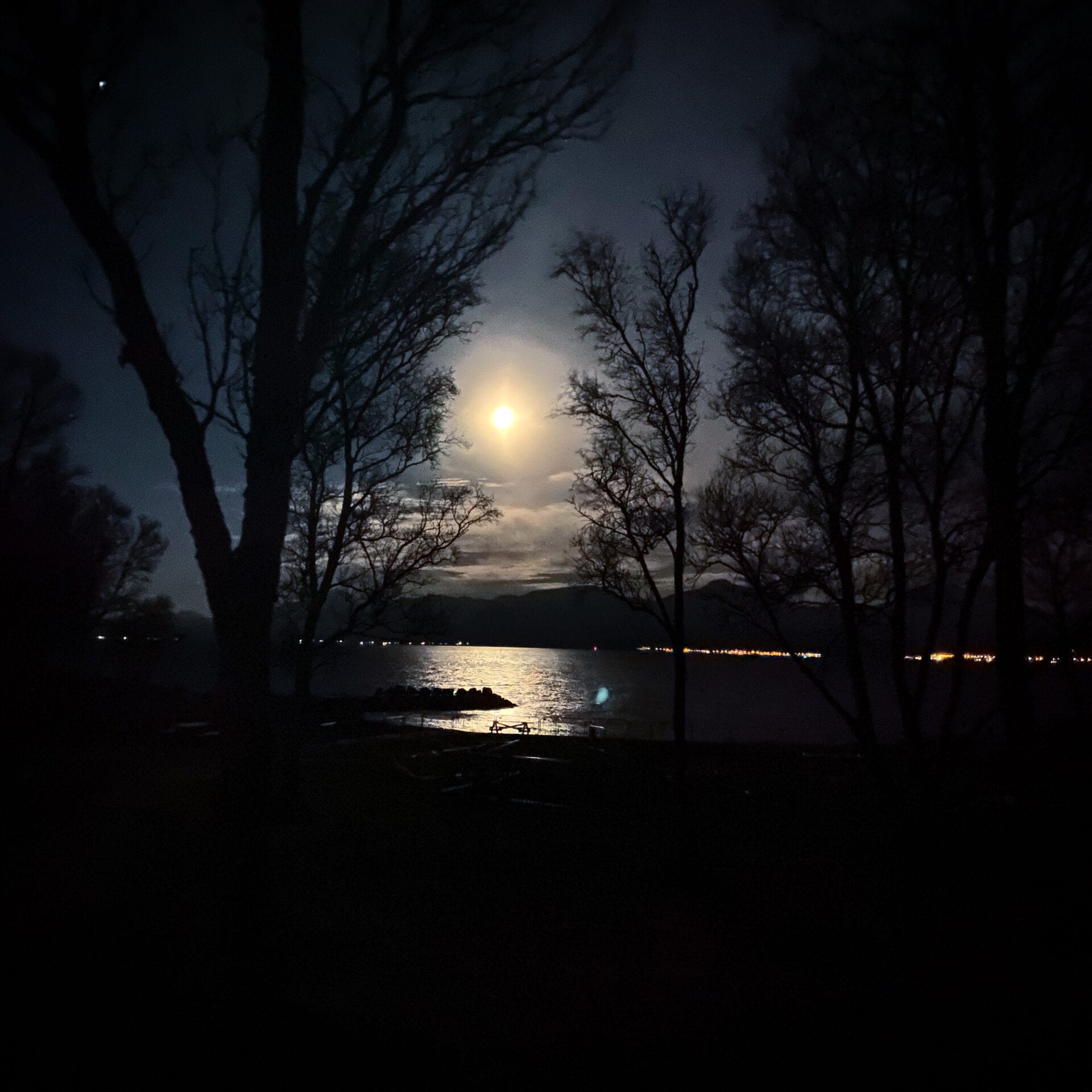
The moon controls the release of methane in Arctic Ocean
High tides may even counter the potential threat of submarine methane release from the warming Arctic.
Text: Maja Sojtaric
-

A cautious return to the sea-ice.
Henry Patton (left), Anna Silyakova and Christine Lockwood-Ireland make their way back to the ice pack in the Greenland Sea. Anna Silyakova was collecting ice cores from the sea ice to investigate methane-associated processes within, when the group was interrupted by a passing polar bear. They had to quickly abandon station and return to the safety of the research vessel Kronprins Haakon.
Methane is a greenhouse gas, and as it rises through the water column it gets captured within the sea-ice structure during ice formation. Although ice typically behaves as a barrier for gases to go through, sea-ice is often permeable and a great mediator of gas exchange in polar regions. Being porous, sea-ice provides paths for gases like methane to pass from the ocean surface to the atmosphere where it can make an impact on climate. So, after a polar bear break the scientists returned to the ice pack, albeit cautiously, and collected more samples.
-
The last station
We left the Greenland Sea in a rush! After searching for ice-free waters and mapping those during a 24-hour long station, we had to leave the sea ice due to upcoming bad weather.
Text: Jochen Knies, chief scientist NGU/CAGE. Photos: Mauro Pau, researcher, CAGE.
November 27, 2020
Southerly winds and a high chance of thick sea-ice ridges left us with no alternatives. Unfortunately, we did not reach the Greenland shelf region, and thus we were not able to document the leaking methane. A winter cruise towards Greenland is simply too unpredictable, but the experience we have gained during the past days will help us to get better prepared for forthcoming opportunities. Still, happy faces everywhere with the material we have collected.

Professor Tine Lander Rasmussen was happy with her catch. Not many cruises before have achieved what we have collected during the last days. This is material that will help us find out how far the Greenland ice sheet has expanded towards the North Atlantic Ocean during the last ice age. And, more importantly, how fast the ice has melted away in the past. After plenty of night shifts, we took it easy for the final days easy with time for football and group photos.

Socially distanced fotball on the deck of an ice breaker. Why not? We thank the captain and crew onboard RV “Kronprins Haakon” for all their support and we looking forward to more Arctic cruises in the coming years.
-

Most fabulous experience
The Arctic ice pack is a natural wonder. Observations over the past decades show that is drastically shrinking and in our lifetime it may disappear for parts of the year. We are privileged to have seen it now.
Text and images: Mauro Pau, researcher CAGE.
23rd November
A storm from the south will hit us on our way back to Tromsø. The captain decides therefore to start our way out of the sea ice. Better not be here when the strong southerly winds will blow, compacting the sea-ice cover. As a consequence, the acoustic team has to come up with a new surveying plan suiting the new situation.

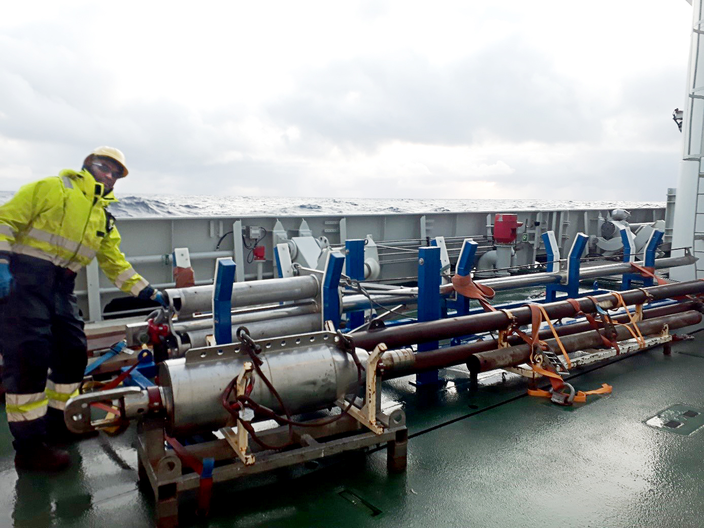
A new gravity core is positioned on the deck. The most appealing scientific problem in the vicinity lies at 3000 m water depth on the northern flank of the East Greenland Ridge, a topographic high that originated during the opening of this part of the Atlantic Ocean. The ridge has been deflecting deep ocean currents ever since, and while doing so the currents weakened and lost their sediment load. The resulting contourite deposits, as they are called, could potentially reveal information on the temporal variability of the thermohaline ocean circulation, which redistributes heat around the globe.

Cruise leader Jochen Knies has a first look at the freshly retrieved gravity core. 24th November
We carry out our measurement and sampling program at three stations, this time deploying also the heat-flow probe at the deepest of the stations (3100 m). It takes about one hour to lower each piece of equipment to the seabed, and another hour is needed to bring it back on board. This means that we spend the whole day surveying the area. Once we are done, it is time to start our journey back to mainland Norway.
25th–26th November
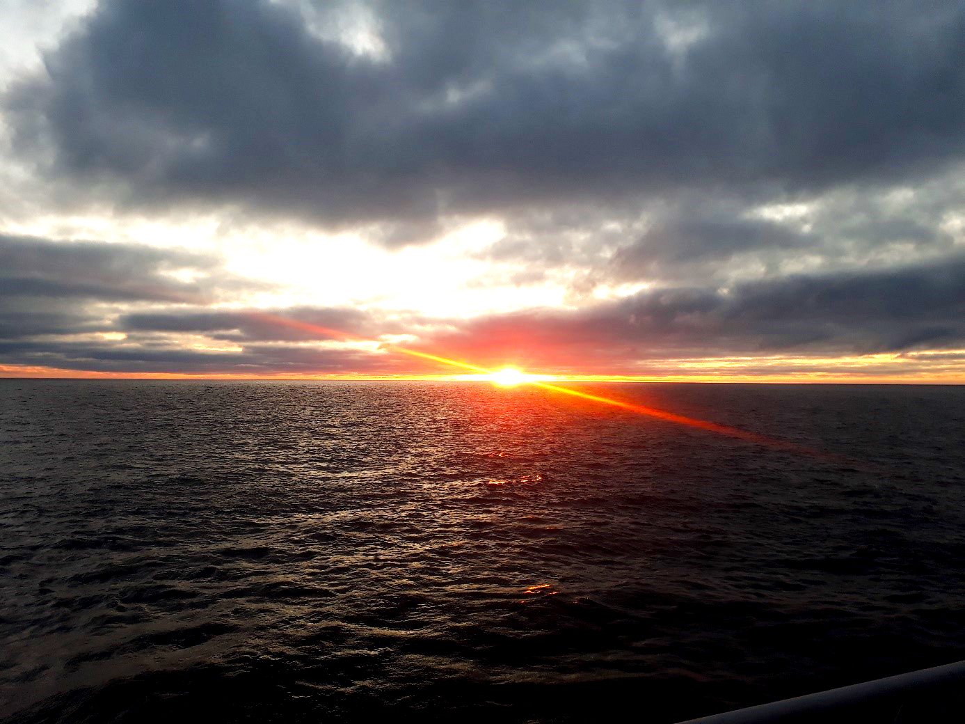
Steaming across a moonlit ocean, the captain manages to avoid the storm and brings us safely to the northernmost coast of Finnmark, near North Cape. Life onboard goes on with some work in the labs, cleaning duties, chatting in the day room, and the usual meal times. Passing from 78 to 72 degrees of latitude has remarkable effects: now there is light in the sky around mid-noon, and the frozen sea spray on deck is thawing!
27th November
We pass North Cape at 3:00 AM, and just over two hours later we reach the first sampling station. We then proceed to survey and sample the interior of Tanafjorden.

Deploying a CTD cast to measure hydrographic properties of seawater At 10:00 AM we start our journey to Tromsø. The expected storm has arrived, but we are navigating safely through the spectacular fjords of northern Norway. We will arrive in Tromsø tomorrow morning.
General impressions
Despite the odds, we can be happy with what we have achieved. The quantity of the data is not abundant, but we did collect great quality data in a sea-ice setting in a time of the year polar expeditions are, to say the least, not common. We have pushed the limits of what R/V Kronprins Haakon can do, and have acquired fabulous experience.
The Arctic ice pack is a natural wonder. Observations over the past decades show that is drastically shrinking and in our lifetime it may disappear for parts of the year. We are privileged to have seen it now. At least some of us got deeply fascinated by that extreme environment, so much so that from the moment we left the sea ice we felt the urge to go back: there where even liquid seawater is below zero degrees Celsius, where an immense table of frozen ocean surrounds you, the night is several months long, and polar bears roam, sometimes under the northern light.
-
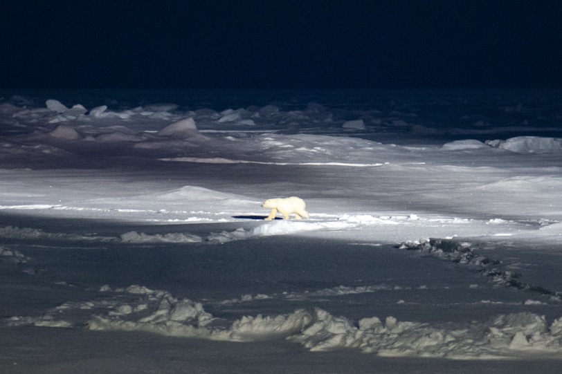
Polar bear in sight!
It happens during the sea-ice coring when Anna Silyakova, Henry Patton and Christine Lockwood-Ireland are on the ice pack. The team has to leave coring and get quickly onboard where they can enjoy the sight of the big carnivore passing by with the rest of us.
Text and photo: Mauro Pau, researcher CAGE.
-
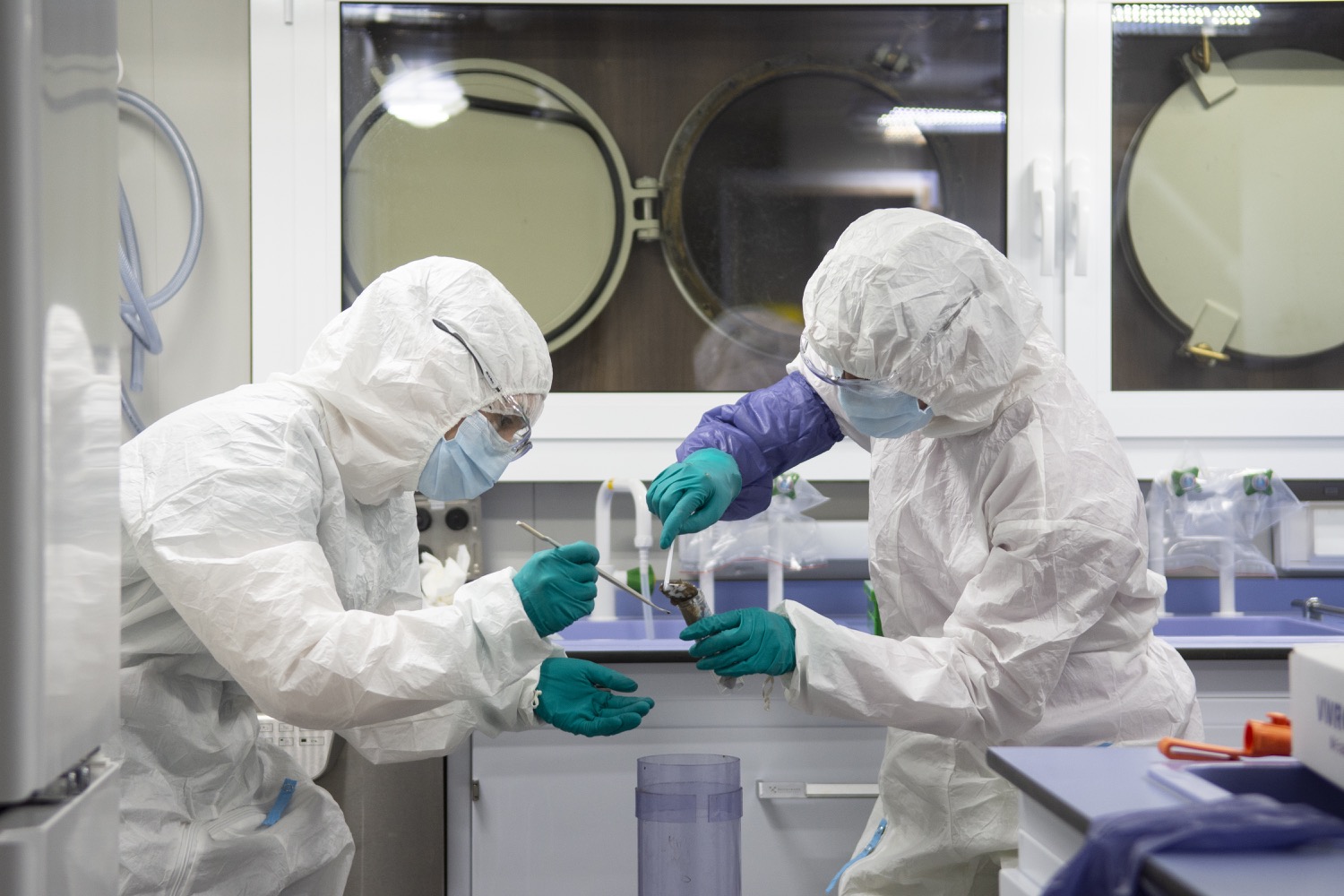
Harvesting the DNA
Watching the ice break is as captivating and mesmerising as watching the fire burn.
Text and photos: Mauro Pau, postdoc CAGE
-
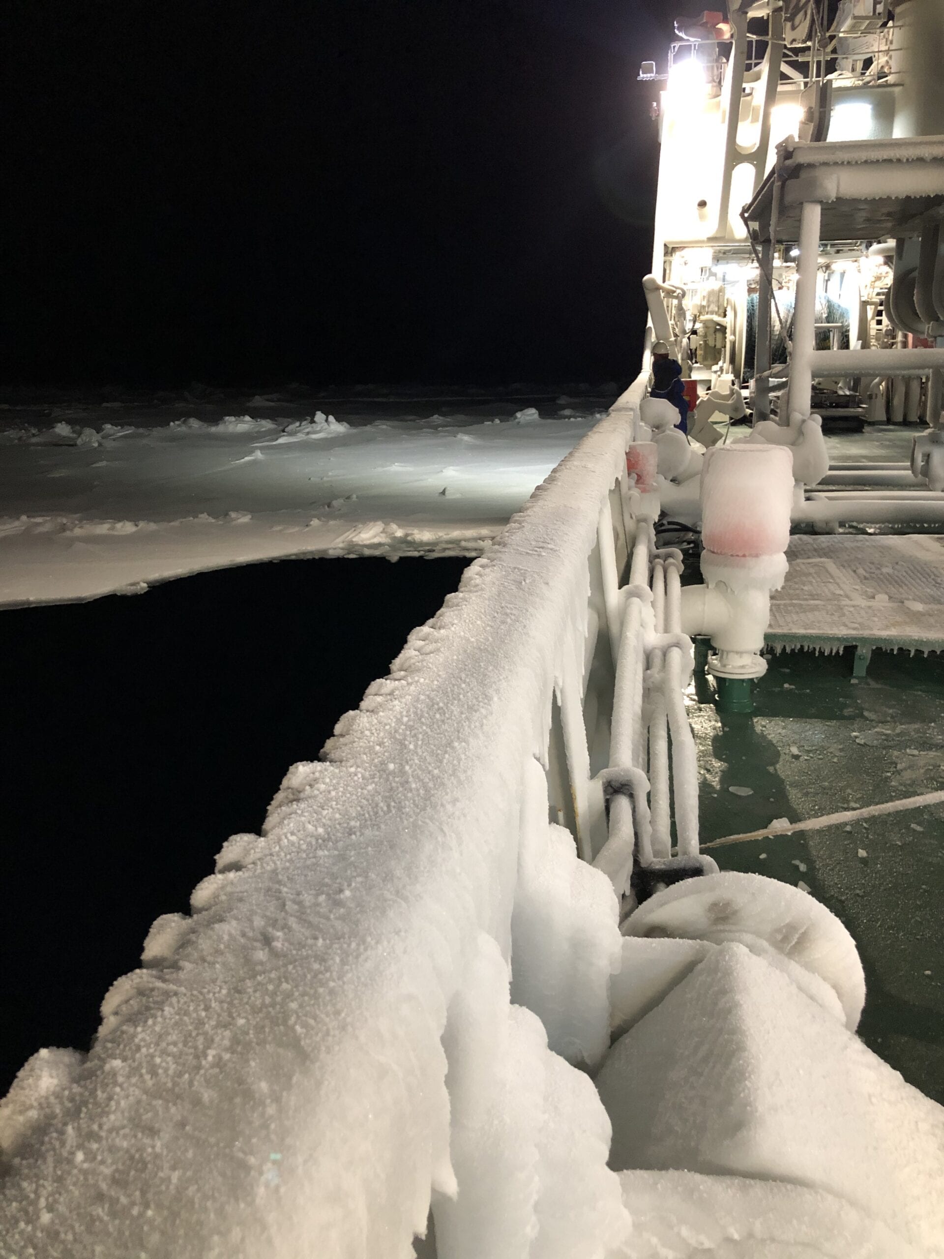
Beauty of the Dark
A November cruise towards Greenland is challenging. You only realise it when you face it.
Text and photos: Jochen Knies, researcher NGU
-
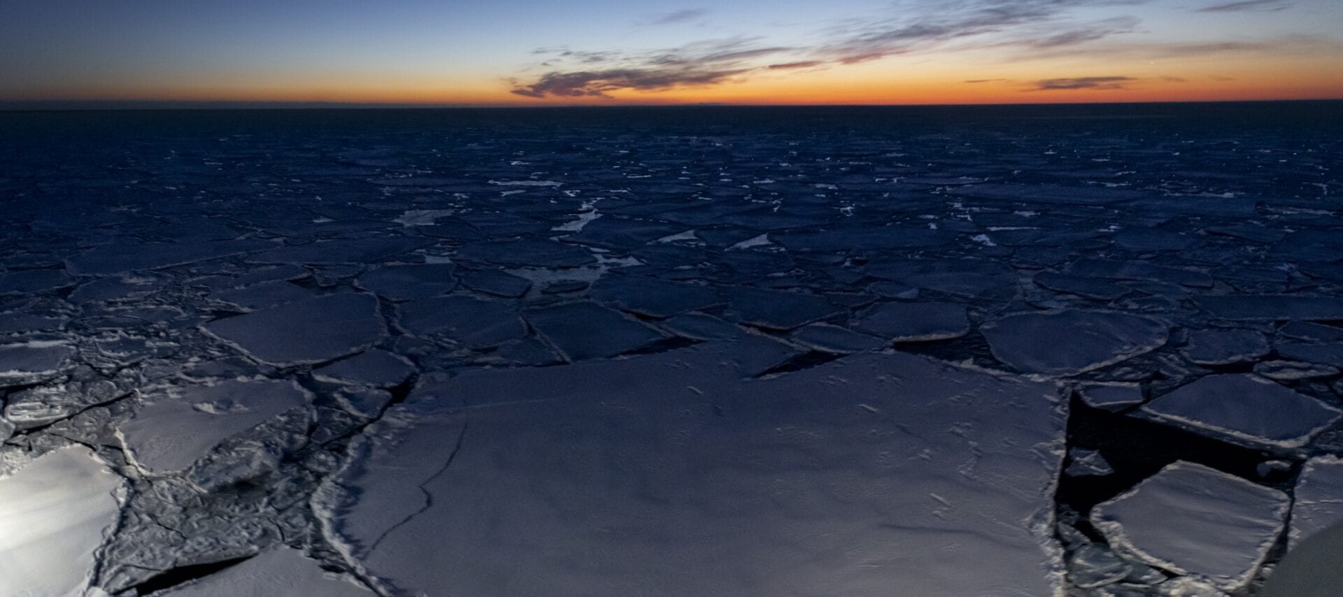
The sound of sea ice hitting the hull
This cruise will be a bit of an adventure, in that it is the first time someone attempts to search for methane release through the seabed during winter times in the area.
Text and photo: Mauro Pau, postdoc CAGE
-
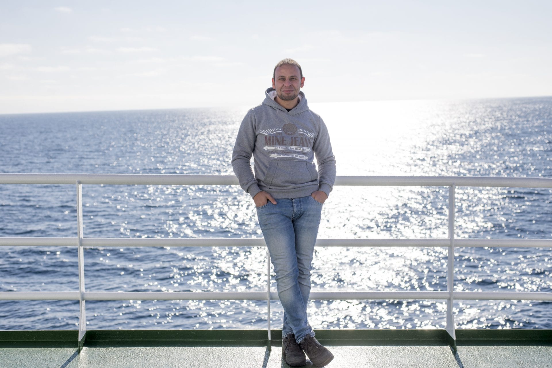
Mohamed Ezat awarded Starting Grant, 25 million NOK
Tromsø Research Foundation’s Starting Grant is a highly competitive, and attractive funding for early career scientists. Mohamed Ezat is awarded the grant for the project The Arctic Ocean under Warm Climates (ARCLIM).
Text: Maja Sojtaric
-
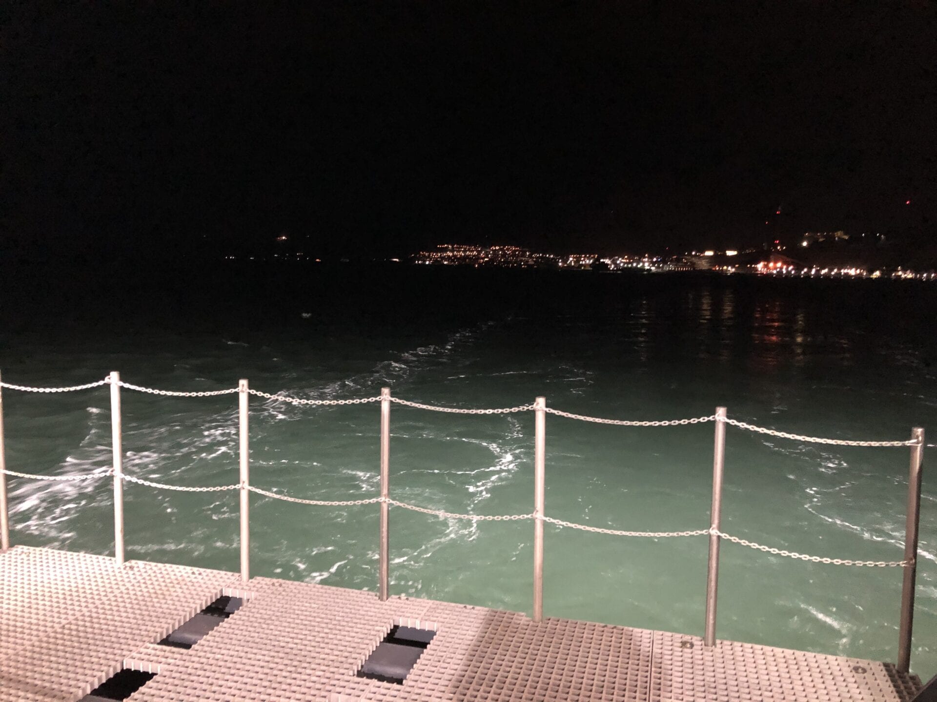
Greenland in the Dark
Shall I start with COVID-19? Yes. I can assure you that we keep social distancing, wash our hands regularly, and follow all the guidelines and measures given to us! We hope to stay safe and healthy.
Text and photos: Jochen Knies, researcher NGU
-
Picking up plastic trash
According to a study from 2015 1, between 4.8 to 12.7 million tons of plastic end up in the ocean per year. Everyone has already heard about the “plastic continent” of macro- but mostly microplastic swirling in the world’s gyres. But, everything is connected.
Text: Marie Stetzler
The ocean currents are a huge two-lane-highway around the globe with the water’s salinity and temperature gradients as the main motor of transport: surface currents hence stream in a different (mostly opposite) direction than deep-sea currents. And like on a proper highway, there are plenty of exits, branching out in complex, always thinner paths, leading the currents to the most remote places. That plastic would also end up in the Arctic, transported by the West Spitsbergen Current, was just a matter of time.
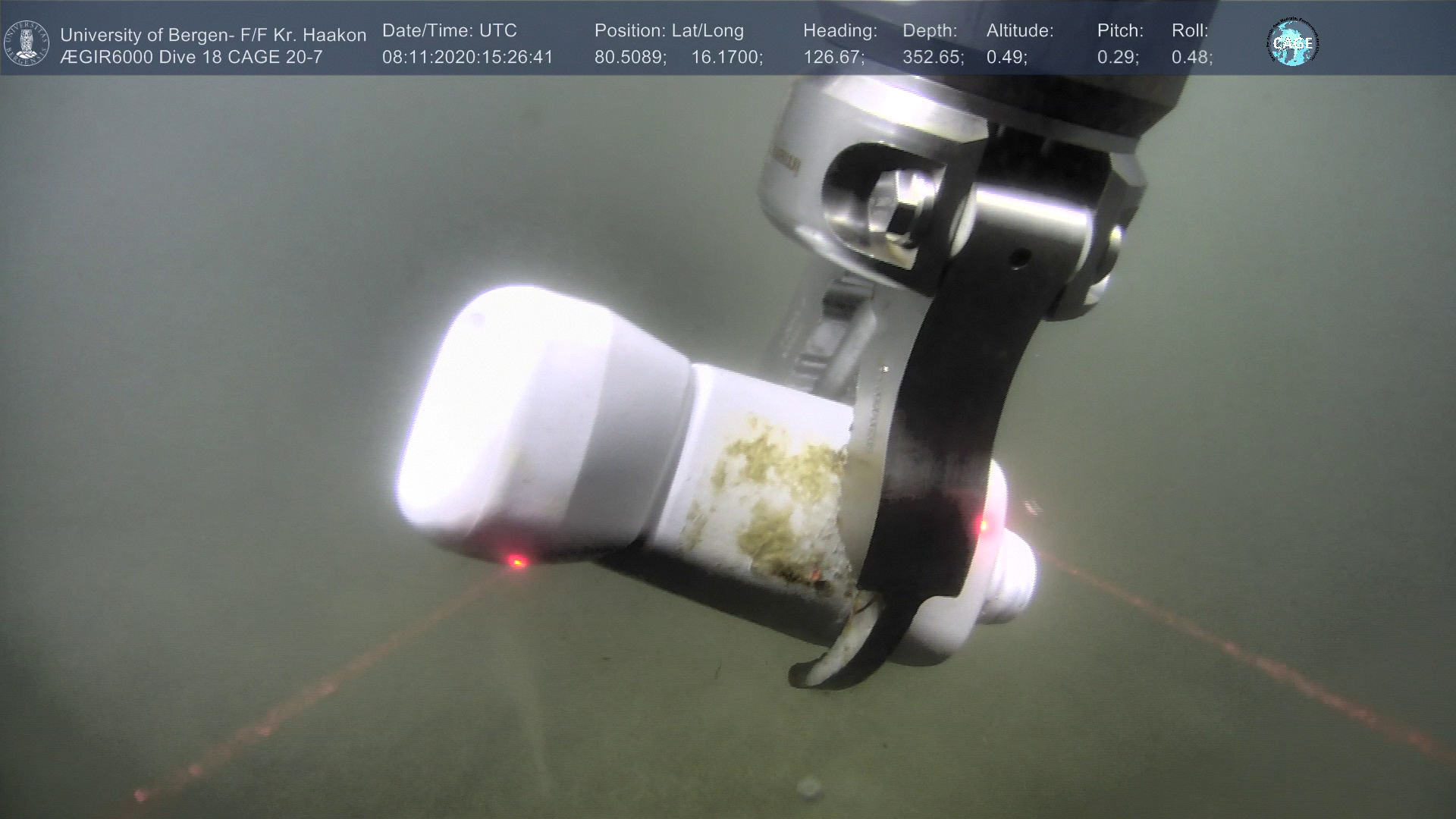
Still, it is a bitter reality-check when the lights of our underwater robot the ROV (Remotely Operated Vehicle) laid down on a white plastic bottle. And this at 353m depths and 80° N, miles away from the next soul, and even hundreds from the closest settlement. Our environmental consciousness forbidding us to leave this piece of trash behind, we pick it up with the ROV’s pliers. But even for a piece of plastic scientific interest can be found: the “fouling”, so micro- and macroorganisms which inevitably settle on all submerged surfaces after a while, are worth investigating.
Plastic is a light material, nevertheless, most of it won’t float on the ocean’s surface. It is the weight of the fouling that will drag it down to the bottom of the ocean, as will currents. Around 80% of the plastic in our seas is therefore lying on the ground 2. In absence of light, oxygen, and weathering, it won’t be degraded and can remain there, preserved for centuries, eventually becoming a new habitat for organisms. Not the nicest trace left behind by humankind, but at least this white bottle won’t go down in the geological records of the Anthropocene.
1 Jambeck,J.R., Geyer,R., Wilcox,C., Siegler,T.R., Perryman,M., Andrady,A. ,Narayan, R.,
Law,K.L. (2015) Plastic waste inputs from land into the ocean. Science. 347, 6223, 768–771.2 François Galgani, French research scientist about ocean plastic at IFREMER. Personal
communication. -

“Have you not succeeded? Continue! Have you succeeded? Continue!” – Fridtjof Nansen
What is it that attracts the explorer’s heart so much to the sea? To the small island that a ship will be for you for two weeks? To the lonely darkness of the Arctic in winter?
Text and photos: Jenny Friedrich, Geomar.
-
Fish gets in the way
You never stop learning. That this is the core philosophy of our profession and the reason for our presence on the rough seas at 80°N in the Arctic goes without saying. But it also applies on a personal level.
Text and photos: Marie Stetzler.
After a first cruise on the smaller and cozy R/V Helmer Hanssen, a new dimension of ship-going-expeditions opens up to me here on the R/V Kronprins Haakon, to find methane flares… and have some unintentional bycatch.
On our arrival at the harbor in Longyearbyen in the polar night for boarding, the first noticeable difference to the R/V Helmer Hanssen was that it was not just a ship waiting for us at the dock, but a floating building. Ten decks high, illuminated with uncountable lights, as if someone was a little early in their set up of fancy Christmas decoration. The view is both impressive and exciting. As soon as we set foot on deck, we enter a world that is both a 4-star hotel and a high-tech lab. This will be our home for the next two weeks. You can easily get lost on various decks, rooms, labs, and the hangar on the first day, which is reason enough to explore every corner of the vessel, including the outside decks. You quickly learn that the heart of the ship is the mess, all paths lead to it and the meals are delicious. And deck nine, almost the ship’s highest, is immediately identified as my personal crow nest. Another surprise that awaited my fellow rookies and me in the hangar: having a huge hole in the ship’s hull can actually be advantageous. The big hatch, called “moonpool”, opens indeed directly into the open sea, as the constant stream of water rushing in and out of the pool confirms. It is used for the deployment of our underwater robot, the ROV (Remotely Operated Vehicle). This jewel of technology is our eyes and hands underwater. It will serve both the microbiologists on board by taking sediment probes, which are biogeochemical registers of past and present seepage activity. As for the geologists, it will gather data about the bubbles that are necessary for an assessment of methane in the water column, as well as catch some for analysis. The multibeam (a type of sonar) will guide our efforts by showing us where to find the flares. Water column sampling will tell us how the methane venting affects the ocean’s chemistry and biology.
But all these measurements have one prerequisite: finding flares! We know from previous surveys in the area that we are on the safe side, activity has been reported in our area north of Svalbard multiple years ago already. And indeed, a survey with the multibeam reveals the presence of flares. They don’t seem very prominent, but they have the merit of existing and we deem the biggest one worth a visit by the ROV. Only… the visibility of the ROV is just a fraction of the multibeam’s coverage. The coordinates of the flare are known, but hunting for it in the area still equals searching for a needle in a haystack. Except that this haystack is the 170 m deep, with gravel, sand, and sponge covered seafloor. Bubbles in this background are merely a passing shimmer. Patience and a sharp eye are our friends as the robot hovers through the water. The seep must be close, all the signs are there: carbonate crusts and white bacterial mats. Until, yes, we see single bubbles rising through the water. The camera zooms to its source. Our load of measurements can now be deployed. Let the seep-science begin!
* * *
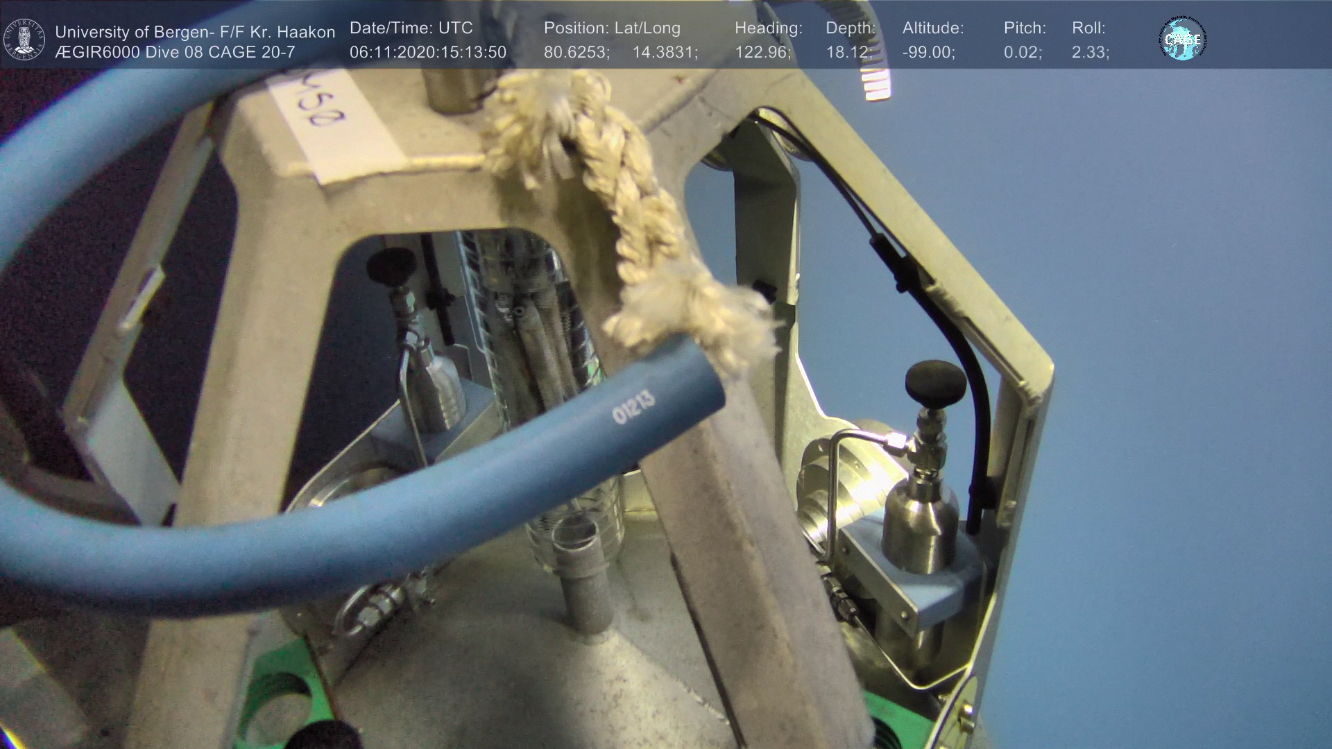
Or so we thought. After having already deployed a couple of instruments on the seafloor, the ROV dove down again, this time with the bubble catcher to collect some bubbles over the seep site. But we’re not alone in the sea. On the descent, the ROV crossed a dense swarm of fish attracted by the lights, unintentionally transforming the bubble catcher into a fishing device… In the transparent gas collector, several of them got trapped. Not being the cleverest creatures, they keep swimming upwards in the opposite direction of the exit. Turning the bubble catcher to the side, shaking it… nothing helps, the fish stay stuck. The ROV has to surface and get rid of them before pursuing the experiment. Finally, the “fishless” catcher got deployed and could collect some seep gas. From now on we had located other good flares and the rest of the measurements could go on. Maybe the ship crew even got fresh fish for dinner that night?
-
Rituals after our Arctic expeditions
It has become a tradition that when we finish an expedition in Longyearbyen, we celebrate the hard work with dinner in one of the few restaurants in town, Kroa.
Text and photo: Andreia Plaza Faverola, researcher. Project manager, SEAMSTRESS.
A day before reaching the harbor Sunil had already booked our table. This year we were the right number of people and got the Round Table, just like King Arthur’s knights. Several hours before our closing dinner we were already in town having some drinks together. We continued with the dinner and finished with a round of emblematic bars in Longyearbyen.
I write about this because it made a big (good) impression on me, to see a lot of life in the bars and streets of Longyearbyen despite all the unusual rules that we have to follow to continue with our “normal” lives. Longyearbyen is a strange place; the city and the people here are full of energy.
We had a cozy night together and some of us came across the ship crew and could interact with them as well outside work. Rituals are important! They mark and create time, they define beginnings and endings in our social cycles, they strengthen social relationships.
Now ready to go back home.

We finish the cruise and the season. The sun tells us good bye and see you in a while… -

Into the fjord
For the last two days, we have been waiting for the arrival of the bad weather, which stopped our activities and made us sail into the fjord.
Text and photo: Andreia Plaza Faverola, researcher. Project leader, SEAMSTRESS.
Here we are now, enjoying the calm waters in the shadow of “Fuglefjell” in one of the Kongsfjorden branches.
We managed to recover the last two piezometers and completed more than 20 heat flow stations right before the arrival of strong winds and big waves. I feel relieved. We have had intense days full of data and full of emotions. Now we just wait here, we play basketball; we get lost in philosophical discussions and sophisticated speculations about the results.
-
Vestnesa is hot with fever
When I Ieft for the cruise I had strong mixed feelings about leaving. My one-year-old had had a high fever (40!) for three days and I was leaving him there feeling miserable…Luckily that same day the fever had started to drop. But the image of a thermometer and high temperatures has not left me.
Text and photos: Andreia Plaza Faverola, researcher. Project leader SEAMSTRESS
We have put the thermometer to good use at least 50 times to measure Vestnesa’s temperature. My son had a 12% increase in his average body temperature. Vestnesa has a 14-17% increase in the average temperature at passive continental margins. So Vestnesa also has a high fever.

Sunil Vadakkepuliyambatta connecting the cable for data transfer after recovery of the big thermometer. It is not so concerning though, the reason for the high fever is the proximity to the Molloy and the Knipovich mid-ocean ridges. There is a lot of heat released at the axis of drifting plates because hot, sometimes melted, material from the mantel is reaching the Earth’s surface and getting in contact with the ocean. Interestingly, there are places close to the mid-ocean ridges where the temperatures are actually lower than expected. Here, a thicker sedimentary cover seems to be working as cold compresses.
I really hope that after this cruise I won’t be seeing a thermometer for quite a while…
-
It’s all about that heat and stress (tectonic, of course)
We had a rough transit from Tromsø to the Fram Strait. Six-meter waves and strong winds slowed us down to a sailing speed of six knots (normally this type of vessel navigates at 10-11 knots). We left Ramfjord at about 15:00 on Saturday (the 17th) and arrived on-site The Vestnesa Ridge on the west-Svalbard continental margin three days later.
Text and photos: Andreia Plaza Faverola. Researcher CAGE, project manager SEAMSTRESS.
-
Mixed Emotions
Setting up a demanding scientific expedition to the Arctic Ocean in the midst of a pandemic brings about a very mixed set of emotions.
Text and photos: Andreia Plaza Faverola, project leader SEAMSTRESS.
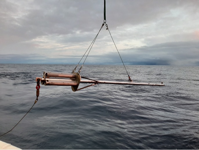
The Norwegian research vessel Kronprins Haakon (KH) is an ice-breaker class vessel that allows surveying and sampling is usually inaccessible polar areas. But our preference for KH, over other research vessels available to us at UiT, goes beyond the need of breaking into the ice. KH has a so-called A-Frame with powerful cranes and winches, in addition to ample space on deck and a system to accurately keep a position. This makes it possible for us to use advanced marine instrumentation, such as rigs for sediment drilling and piezometers (e.g., Ifremer piezometer).
The Ifremer piezometer was successfully used last year during the first SEAMSTRESS cruise and is the centre of the experiment this year. This instrument is teaching us that the pressure of the water and gas inside the sediment changes with small fluctuations in the sea level, for example, tides, which are in turn caused by the gravitational forcing from the moon and the sun.
It is just amazing to think that there can be such a close connection between the methane seepage phenomenon and forces beyond our Planet.

The crew of R/V Kronprins Haakon brings each piece of equipment on board with the cranes at the Breivika docks in Tromsø Se
Now the other face of my emotions – We brought with us two sets of piezometers and sensors to maximize the time onboard and collect pressure and temperature data from at least four stations. However, many challenges have shaped the start of the cruise and our original plan slowly became an illusion. Loading the ship with tens of individual boxes and dispersed equipment for ours, and other expeditions, shaved two days off our cruise time. Packing issues delayed necessary work that had to be done on the deck while the ship was still on the quay. We are just learning that packing for an expedition is an art, and if mastered it can save days. A single day’s delay is critical for an Arctic expedition during this time of the year, where a window of good weather is just gold. But there were more delays to come. Before we could set foot on board, a negative corona test result for one of the new crew members had to be in the captain’s hands. We also used some precious time for the bunkering (filling the tanks) over the night.
Luckily, we are in good hands and with great people. Exciting discussions about science, politics, entertainment and exotic (Arctic) landscapes, keep us occupied as we are heading north.
As the cruise participant, I am craving for some action. As the cruise leader, I am just praying to the Viking gods for a long golden weather window and fewer unaccounted challenges in the days to come.
-
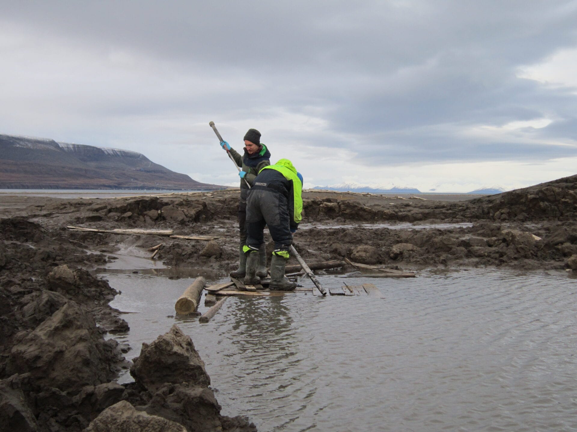
Mud everywhere
Adventdalen on Spitsbergen, like many other glacial valleys in the High Arctic, is punctuated by groundwater methane springs. A year ago, we started exploring these active greenhouse gas sources.
Text: Dimitri Kalenitchenko, CAGE and Alexander Tøsdal Tveit, Department of Arctic and Marine Biology, UiT .
Photos: D. Kalentichenko -
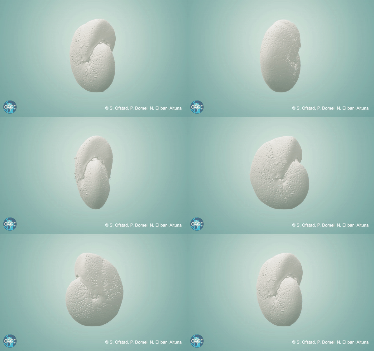
September- October: Spinning foraminifera
Foraminifera are organisms smaller than the tip of a sewing needle. They build a calcium carbonate shell during their lifetime. They live in the seafloor – benthic foraminifera – or “floating” near the ocean surface – planktic foraminifera. When they build their shells, forams use the chemical elements of the waters they live in. That is why their shell’s store information of the seawater at the time they lived. This makes foraminifera very useful to study.

-
LoVe Ocean Observatory is officially launched
This tenderly named infrastructure is not very romantic. It is, however, a dreamy addition to a marine scientist’s toolbox: a cabled observatory that consistently relays exciting environmental information from the seafloor.
Text: Maja Sojtaric
LoVe Ocean Observatory, launched on August 25, will make it possible to consistently monitor the ocean off the coast of the Norwegian archipelago Lofoten and Vesterålen throughout the seasons. Thus, the enamoured acronym – LoVe. Several observatories are placed along 60-kilometre-long fibre optic and electric cables, making it possible for most of them to be operative 24/7, all year round.

And, we are plugged in! The State Secretary at The Ministry of Trade, Industry and Fisheries, Trine Danielsen, had the honour of declaring LoVe Observatory fully operational. Photo: Christine Fagerbakke/IMR CAGE is involved in the development and implementation of node 7 which is placed near an area of substantial methane seepage, close to a coral reef. The observatory will provide a long term, real-time observations of methane seepage from the ocean floor 270 meters below the surface. Methane is bubbling up in this area, potentially affecting the ecosystem.
First of its kind in Europe
Few cabled observatories exist in the world, and even fewer focus on natural release of the greenhouse gas methane. Which makes this observatory unique in its ability to provide crucial environmental information.
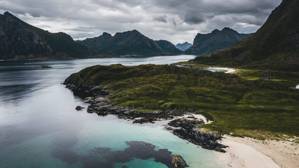
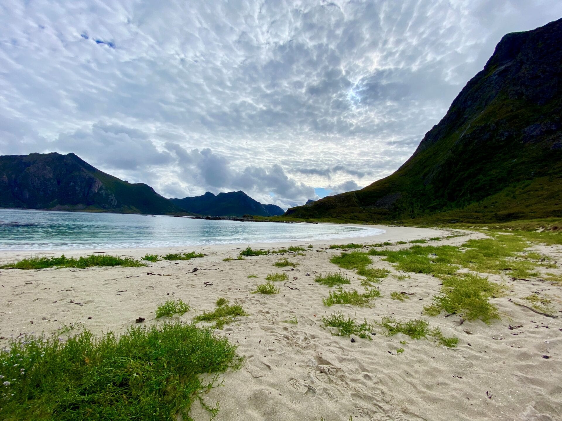
The cables run around this headland and through the beach which can be seen in the background. Photo: Christine Fagerbakke/IMR 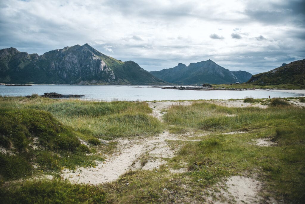
The cables are pulled from the sea and laid under the beach and further along the bog, up to the small cabin that controls the entire observatory. Photo: Christine Fagerbakke/IMR 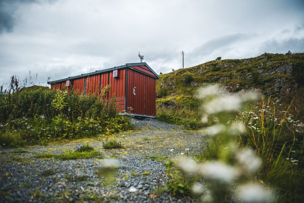
This unassuming red cabin holds is the control center for the entire observatory. It holds transformers and computers that store the data recorded in the depths of the ocean. Photo: Christine Fagerbakke, IMR 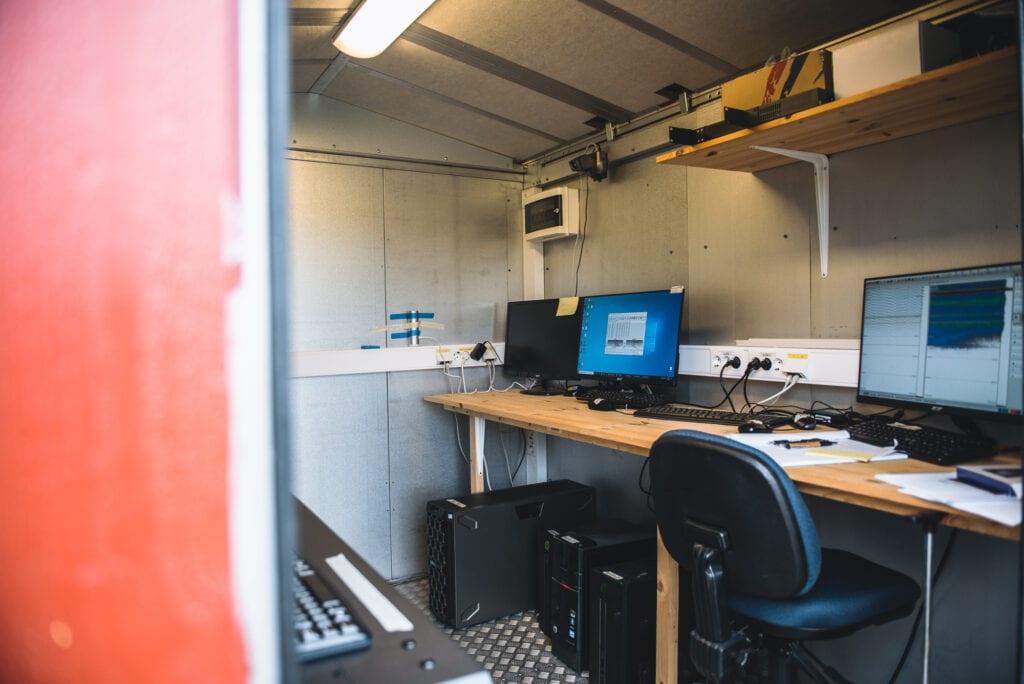
There is even some space for a person to work there. Not much space, but it will do just fine. Photo: Christine Fagerbakke, IMR “We are very proud to be part of this success story, as we were actively involved since the first phase of LoVe in 2013. The observatory is the first of its kind in Europe and will mean a big leap towards understanding climate change and its effect on currents variations and ecosystems,” says Benedicte Ferré at CAGE.
Ocean Networks Canada and Ocean Observatories Initiative in the USA are similar observatory systems that include methane sensors. Norway is, however, the first country to have strategically built a cabled observatory in an area of high biological productivity, intense methane emissions, and with a vulnerable ecosystem.
“This provides us with a unique opportunity to investigate the impacts climate change will have on all these interconnected parameters. Conducting research on data from this area is the next step towards our understanding of environmental challenges in connection to climate change and potential industrial exploitation at the seabed,” says Ferré.
Remember phone books?
The long list of mounted sensors on node 7 reads like a phone book if you remember those: they measure greenhouse gases methane and CO2; water current data, temperature, salinity, and pressure; oxygen, nutrients (nitrate), pH and chlorophyll; turbidity, coloured dissolved organic matter and polycyclic aromatic hydrocarbon ( a mouthful, but a truly intriguing chemical compound).
In addition, a camera system coupled with a flash provides regular images of methane seepage, a hydrophone records the surrounding environment and the sound emitted by the bubbles as they escape the seafloor, and an echo-sounder records fish migration and long-range images of methane seepages.
Marine research has relied on research cruises, by ship, providing only a snapshot of current environmental conditions. However, the seasonal variations in methane release from the ocean floor can be significant. Which is not a small matter.
A recent paper by Ferré et al in-Nature geoscience showed that Climate gas budgets highly overestimate methane discharge from the Arctic Ocean. This means that the present climate gas calculations are disregarding the possible seasonal temperature variations.
Methane emissions also affect the biological and ecological environment in the nearby area, creating an unusual impact on local lifeforms.
An extraordinary landscape – above and below the water
“This area is exciting because of the fantastic life it hosts due to coastal waters mixing with Atlantic waters. The deep-sea corals abound, a large percentage of the cod population spawns here, and much of the herring stock travels through the area. The continental margin is also very narrow, making it possible for us to observe and monitor a plethora of environments in a relatively short distance from the coast, going down to almost 2500 meters in one area.” says project manager Espen Johnsen of Institute of Marine Research.

Espen Johnsen, project manager of LoVe Ocean Observatory, on the beach in Hovden, Vesterålen beneath which the cable is safely entering the ocean. The village of Hovden has only 14 permanent residents and now hosts this state of the art ocean observatory. The collaboration with local inhabitants and fishermen has been crucial for the success of the project, according to Johnsen. Photo: Christine Fagerbakke/IMR The first phase of the project began in 2013 as a collaboration between, among others, the Institute of Marine Research and Equinor. That involved putting out an observation platform by a coral reef off the village of Hovden in Bø Municipality in Vesterålen.
In 2015, the project received NOK 72 million in funding from the Research Council of Norway and several new partners. This has made it possible to install a total of seven observation platforms (nodes) covering the whole continental shelf from the coast out to the deep ocean.
“In due course, enormous amounts of data will become openly available through our webpage. We hope that many scientists from around the world will find them interesting. “ says Johnsen.
-
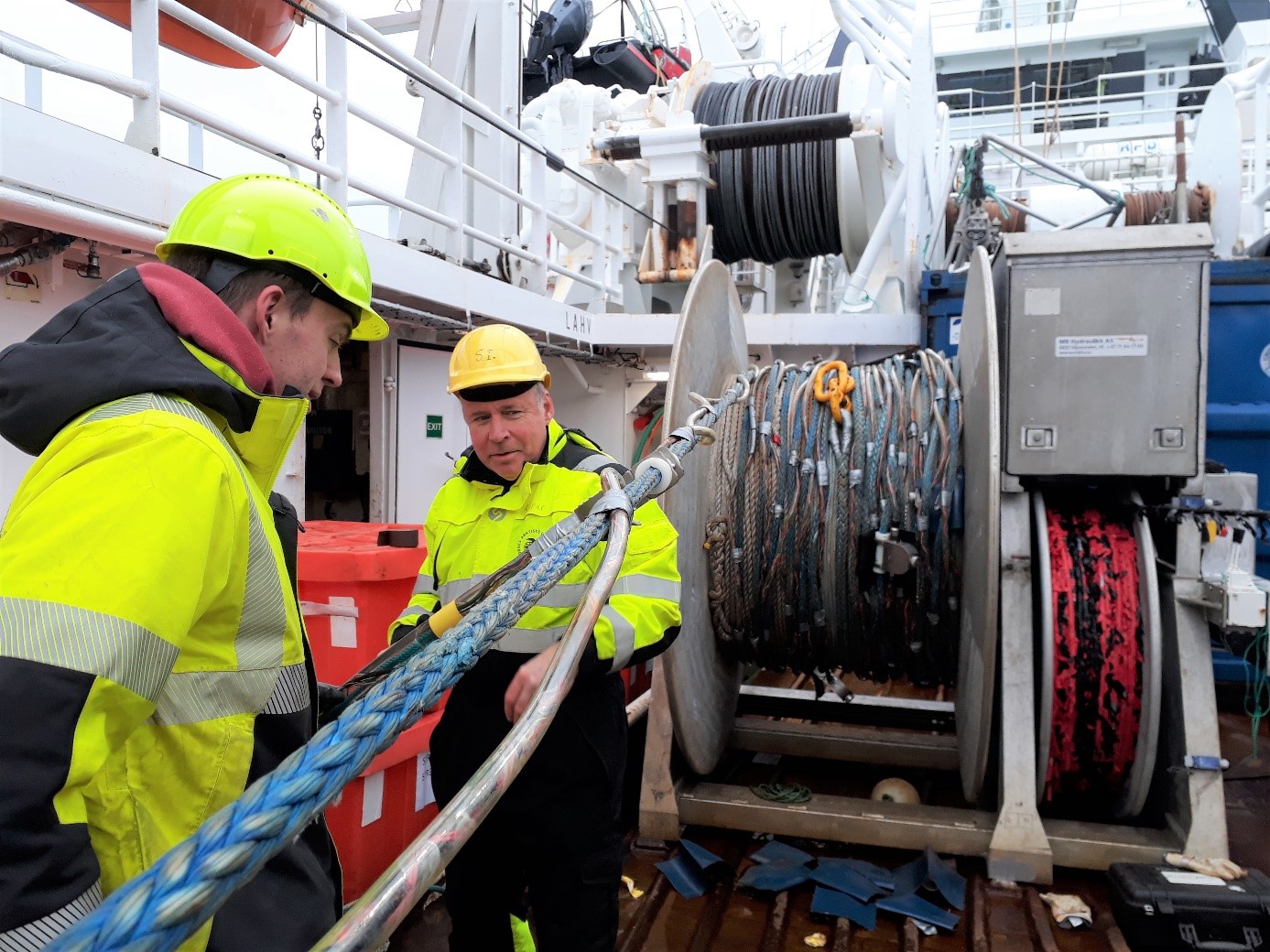
Hidden Fractures of the Mother Earth
Text and photo: Andreia Plaza-Faverola, researcher CAGE; project leader SEAMSTRESS.
By the time the last Ocean Bottom Seismometer (OBS) was diving deep into the ocean, big waves and strong winds reached us. We spent a day or so surviving that feeling of seasickness that accompanies you for a while even when you get back ashore.
Our next objective was to investigate how the geology underlying the OBSs. For this the University vessel ( RV Helmer Hanssen) is equipped with several instruments that produce and record acoustic waves of various frequencies. The lower the frequency of the wave, the deeper we manage to penetrate the ground to gain a picture of the underlying structures. But the higher the frequency, the more detail we get. We used every instrument available to get a highly detailed 3D image of the underground.
We collected geophysical data along 12 profiles and with the software onboard immediately produced spectacular “radiographies” of the Mother Earth’s submerged mountains and cracks beneath the seafloor in this remote part of the globe.
We started with 2D surveys (the ship moves in a straight line). Everything went so smooth and the excitement about amazing data was such, that we decided to do a 3D survey (the ship moves in parallel and closely spaced lines and the recorded data is then interpolated to get a volume).
To image deeper we use an air source that produces an acoustic signal with 20-500 Hz. For 2D lines, we connect the cables one after the other one (we refer to it as the green spaghetti).

The green spaghetti (the hydrophone cables) is rolled out on the deck while we change from 2D to 3D mode. To image in 3D we put the cables one next to the other. Changing from one configuration to the other one implies a lot of action on deck for the crew, our engineers, ourselves and even our colleagues form AWI helped on deck pulling and connecting hydrophones for the surveys. Also, the processing team had a lot of action and a sufficient amount of data to keep us awake during the night shifts.

Stormer and Steinar carefully dry and put leads in the hydrophone connectors while Henning and Vera (AWI) wait for the next hydrophone cable to role it into the box. It was a productive research cruise with a great crew and lots of inspiring moments. We had intense research discussions and collected significant data sets for the Seamstress project. Part of the new lines complement a data set we are using for a scientific drilling proposal (IODP).
We sail satisfied to our next target before heading to our final destination: Home!
-
Searching for the unexpected signals in the deep sea
Text and photo: Andreia Plaza-Faverola, researcher CAGE; project leader SEAMSTRESS
We started the cruise abiding by the law of the sea (we assisted a smaller ship that was in trouble). Luckily for the crew of the small ship and for ourselves, the weather was nice and the sea calm. Next, we collected the seven seismometers (five from Geomar, two from UiT) that were at the ocean floor since last year. Now it was time to launch the next part of our experiment.
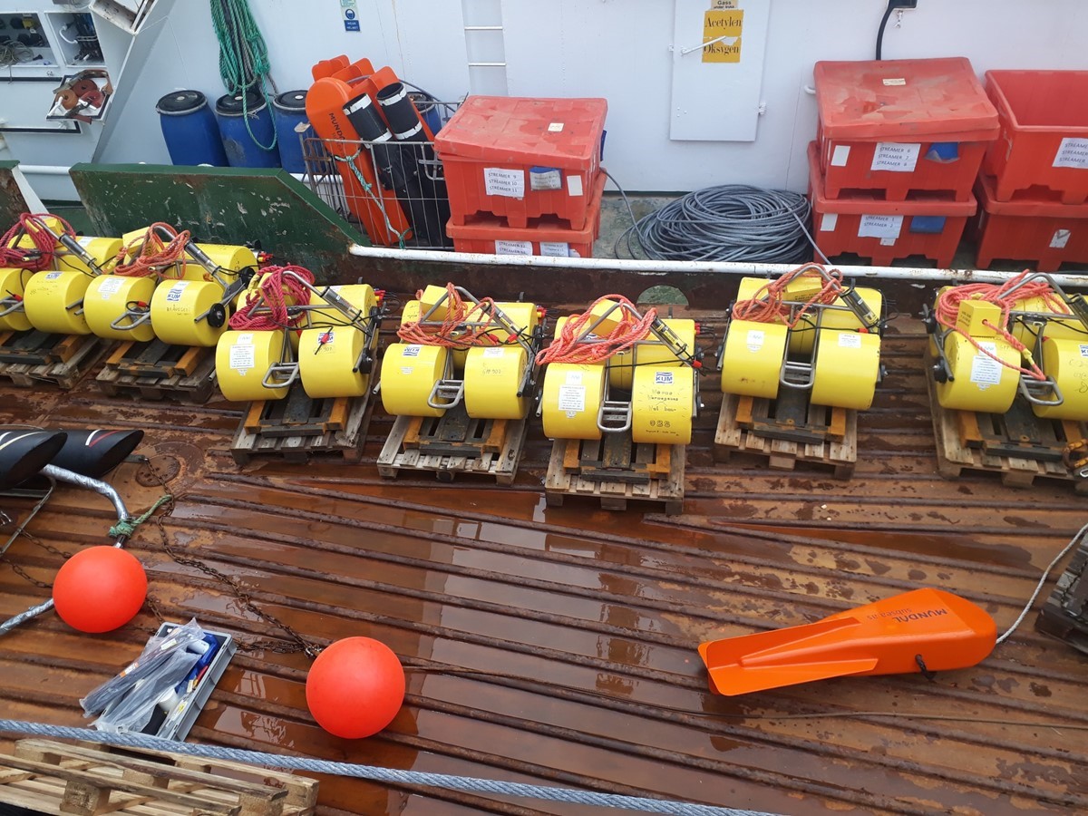
This time we left 10 seismometers at the bottom, eight from AWI and two from UiT, distributed in a faulted region north of the Knipovich Ridge. In average the deployment of each instrument took about an hour. This included a test of the releasers. The releasers were placed in a cage and sendt down to 2000 meters water depth, to check whether they were receiving the signal from the ship and responding with the task they were asked to do (open the hook!, close the hook!, send a signal back to the ship!, etc). Some of the releasers failed to obey in the last minute, almost like a child who refuses to do this and that. So they needed to be replaced (the releasers…). It was a long couple of days for all, in particular for those preparing the instruments to be thrown overboard.

Henning (AWI) observes and ensures that the OBS is carefully lowered to the sea surface by the crew member who operates the crane. Photo: Andreia Plaza-Faverola. Placing the instruments at sea went smooth. Now we all wait until next year to recover the instruments and hope that they recorded small earthquakes originating from, or somehow related to, faults that show up at the seafloor. These in turn may be related to the opening of the Knipovich mid-Ocean ridge. Since shallow seismicity is not expected in the zone where the instruments sit, what we really are hoping for is that the instruments will record something unexpected.
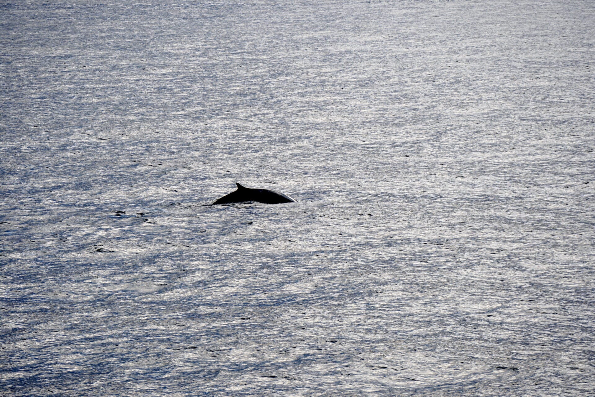
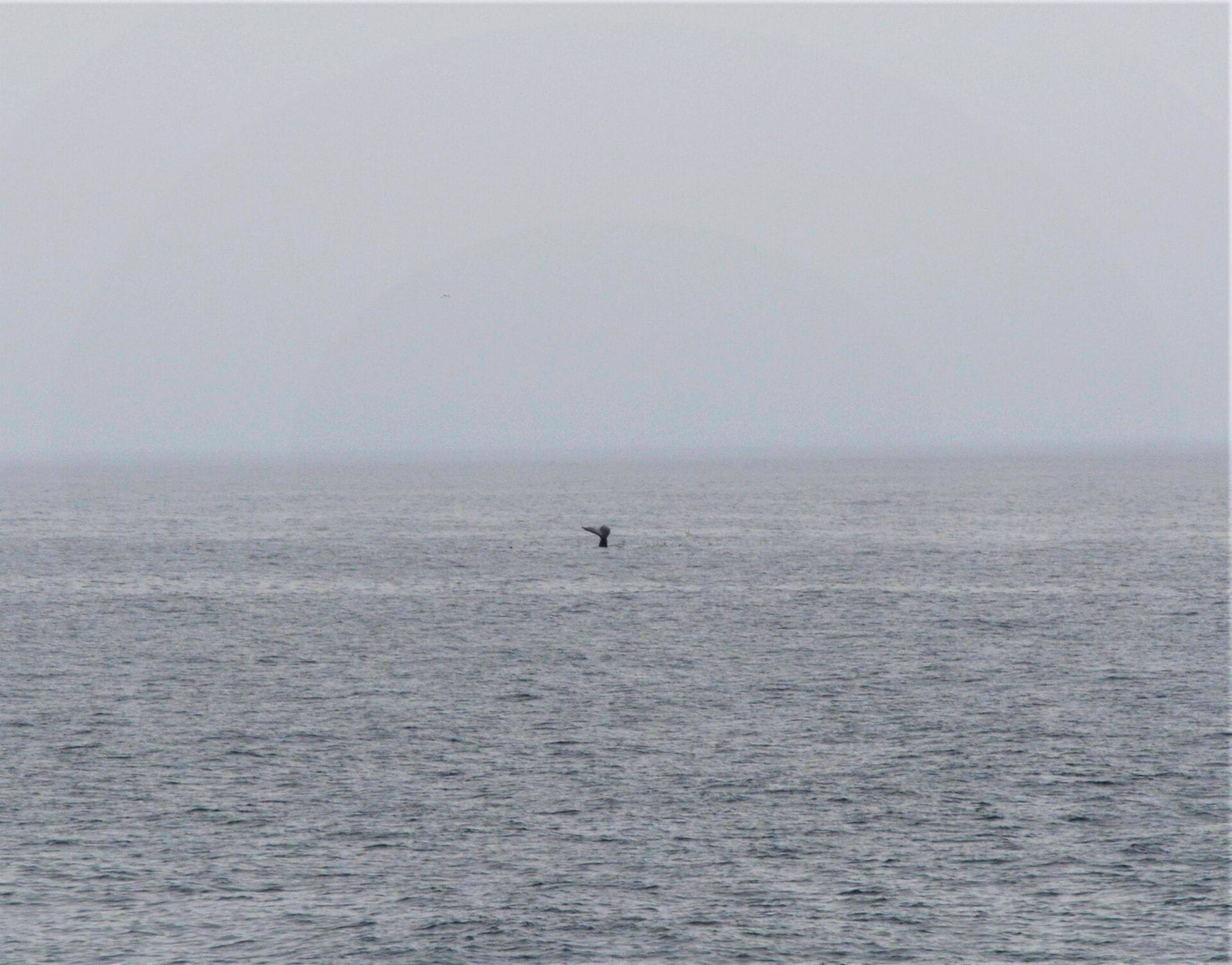
Towards the end the whales were still with us and the wind was in our favour.

From left to right: an instrument, the crew and a whale. Photo by Vera Schlindwein -
A special kind of fishing trip
Text and photos: Andrea Plaza-Faverola, researcher CAGE; project leader SEAMSTRESS.
Seven ocean bottom seismometers (OBS) have been recording earthquakes for about a year at more than 1000 m water depth offshore the west-Svalbard margin. In a calm sea, surrounded by whales and dolphins we fished out one by one. We managed to retrieve all of the instruments.
Each seismometer is attached with a hook to an iron frame that keeps them on the sea-bottom for the desired recording period. To bring them back to the surface they are released from their weight using an acoustic device that sends a signal from the ship through the water, and basically tells the hook to rotate to free the instrument so that it can float up. When one instrument is released, we are all out on the bridge looking for it to show up in the horizon.

Sunil, Przemek, and Stefan enjoy the calm sea while waiting for the instrument to appear on the surface. When the OBS is at the surface one of the crew fishes it out and grabs it with the crane or picks it up using the dingy.
Jan throws the hook to fish the OBS so the crane can grab it. 
Stormer and Peter are picking up an OBS that appeared farther away from the ship. Usually it takes about half an hour for one OBS to raise through 1200 meters of water. There is always a latent fear of not getting the instruments back to the surface. But once again the operation was successful, and we retrieved the seven instruments.

An OBS picked up from the sea and safely placed back on the ship using a crane. -
An altruistic beginning for SEAMSTRESS expedition
Text: Andreia Plaza-Faverola, leader. SEAMSTRESS project.
The second expedition to continue with the Ocean Bottom Seismic (OBS) experiment for the SEAMSTRESS project, started in Tromsø on the 19th of August 2020. This part of the experiment aims at collecting the seismometers that have been recording seismic signals since last summer around the Vestnesa Ridge. We will also be placing new seismometers closer to the northern termination of the Knipovich mid-ocean ridge axis (check the map below). We are working closely with our colleagues from the Alfred Wegener Institute (AWI) in Germany. They bring the expertise on seismology as well as needed instrumentation.

The west-Svalbard continental margin is very much closed to the active mid-ocean ridge and is thus a natural laboratory to study the impact of regional tectonic processes on shallow Earth processes, such as the release of methane to the ocean. Illustration: Domel/Vadakkepuliyambatta The continental margins are classified as tectonically active if one plate is colliding against another plate. They are classified as inactive if the continental plate is far away from the middle of the oceans (mid-ocean ridges) where new rocks are constantly produced. But what happens if a continental margin is not so far away from the mid-ocean ridges? This is what we are investigating. We are searching for small earthquakes along a supposedly inactive margin (the west-Svalbard margin). The presence of earthquakes originated at faults that are away from the mid-ocean ridge would indicate that the movement of oceanic plates at the mid-ocean ridges, spreads to fractures and broken parts of the continental plate along the so-called passive continental margins. Processes such as the release of methane to the oceans from these margins may be affected by tectonic movement from the oceanic ridges.
We have been transiting to the Fram Strait for about 48 hours already. Before starting with the OBS experiment we plan to collect seismic lines that are needed to complete a proposal for the International Ocean Discovery Program (IODP).
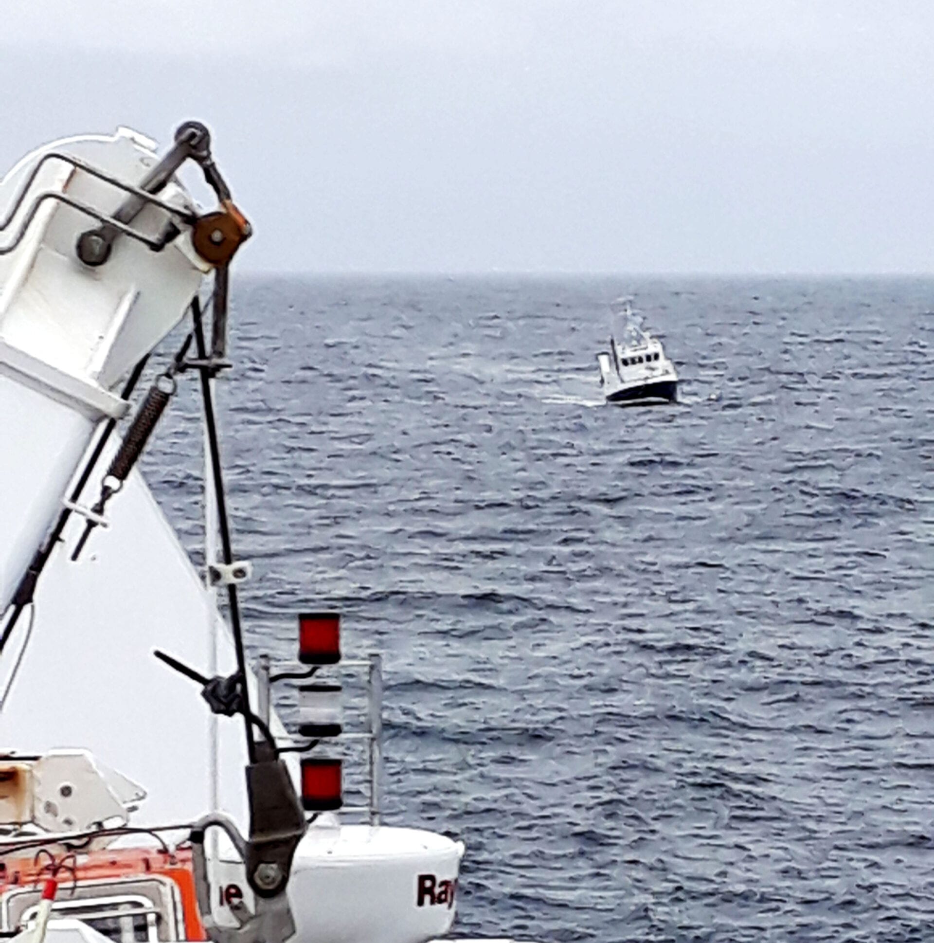
But not all is about pursuing scientific objectives. We are currently towing a small passenger boat that called for help because they got a rope (garbage floating in the ocean) entangled in their propeller. Our captain rescued them and will tow them until the coast guard takes over or until we can leave them in a safe place. We needed to postpone the first surveys and adjust the schedule. Most likely we will need to reduce the amount of data we collect this time but we will take with us a good feeling of solidarity.
-
We discovered new methane pingos in the Barents Sea
Text: Pavel Serov, CAGE.
We were not supposed to find gas hydrates (flammable ice-like crystals consisting of methane and water) in this CAGE cruise as the expedition objectives were slightly off gas hydrate topics. After 10-days, the long, all-consuming hunt for methane seeps and meltwater channels on the seafloor brought us to the very center of the Barents Sea.
Many factors have to coincide to form a shallow gas hydrate accumulation: the water depth should be large enough, the temperature should be low enough, there should be a strong supply of methane gas, and some soft sediments should be available to accommodate hydrate. It clicks when you realize that a point you are looking at on the map has it all. It certainly clicked that day when we found a group of seafloor mounds bursting gigantic flares of methane bubbles (figure) rising through the thick and cold layer of seawater. Hydrates.

Scanning the seafloor relief and overlying water gives us an idea about where methane gas is leaking from. That is where hydrates are likely to be found. Figure: Pavel Serov Some hours later we found ourselves preparing a 1000 kg metal pipe (a gravity corer), which we hoped would pierce the methane-bursting mound and reveal its content. The first attempt did not bring us any touchable evidence for burning ice, but plenty of smell. A strong smell of rotten eggs, terribly unpleasant, but very useful indicator of methane on the seafloor. It was worth trying again. The second gravity corer was certainly not empty. Hydrates and bubbling degassing sediments were sticking out from the pipe. That’s what we hoped for!
Gravity Coring. Photo: Henry Patton 
Core retrieval. Photo: Henry Patton 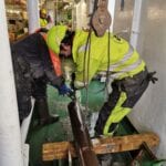
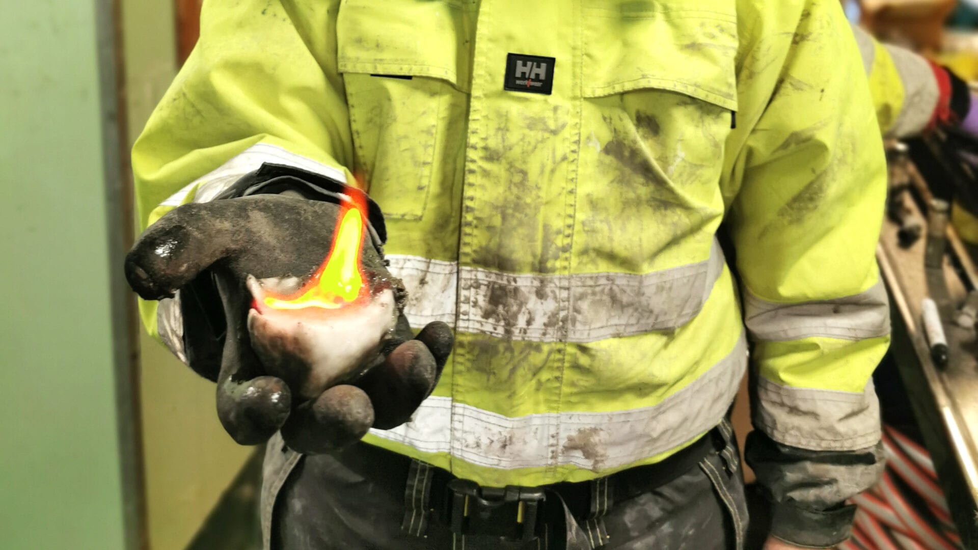
Core retrieval. Photo: Henry Patton It took minutes to seal the first gas sample and find a firecracker. One should prove that these white crystals are burning ice, and there is no better test than setting them on fire. After plenty of successful tests, it was time to retrieve the rest of the core from the protective plastic liner.
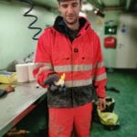
Henry Patton with a lump of burning ice. Photo: Lina Alexandropolou 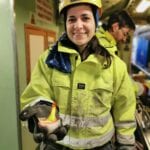
Lina Alexandropolou with a lump of burning ice… Photo: Henry Patton 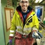
… and Pavel Serov with a lump of burning ice. Photo: Henry Patton With the help of the Helmer Hanssen crew and a disk saw (totally safe) the rest of the bubbling mud and layers of beautiful white hydrate became available for public view.

Splitting the core linear. Normally it is done in the laboratory and using a special core splitter. Here we had to improvise. A disk saw came in handy. Photos by Henry Patton (CAGE). Sampling hydrates is good fun – they burn, they make bubbles, they melt, they fizz, they blow up glass bottles if you seal a piece in it. But feeling that your predictions of where to find them were right is even better
Back in 2015, we proved for the first time gas hydrates in similar gas hydrate mounds (we call them pingos) in the western Barents Sea. It feels great to be a part of the team discovering another gas hydrate pingo field 5 years later. It means we have learned something about these methane-bursting beasts, we understand them better now. And we know how to find them.. – these were my last thoughts before falling asleep after a long shift on the hydrate day of the cruise.

A layer of hydrate in bubbling sediments. Photo: Henry Patton -
Coring under the Arctic midnight sun
Text and photos: Lina Alexandropoulou, CAGE
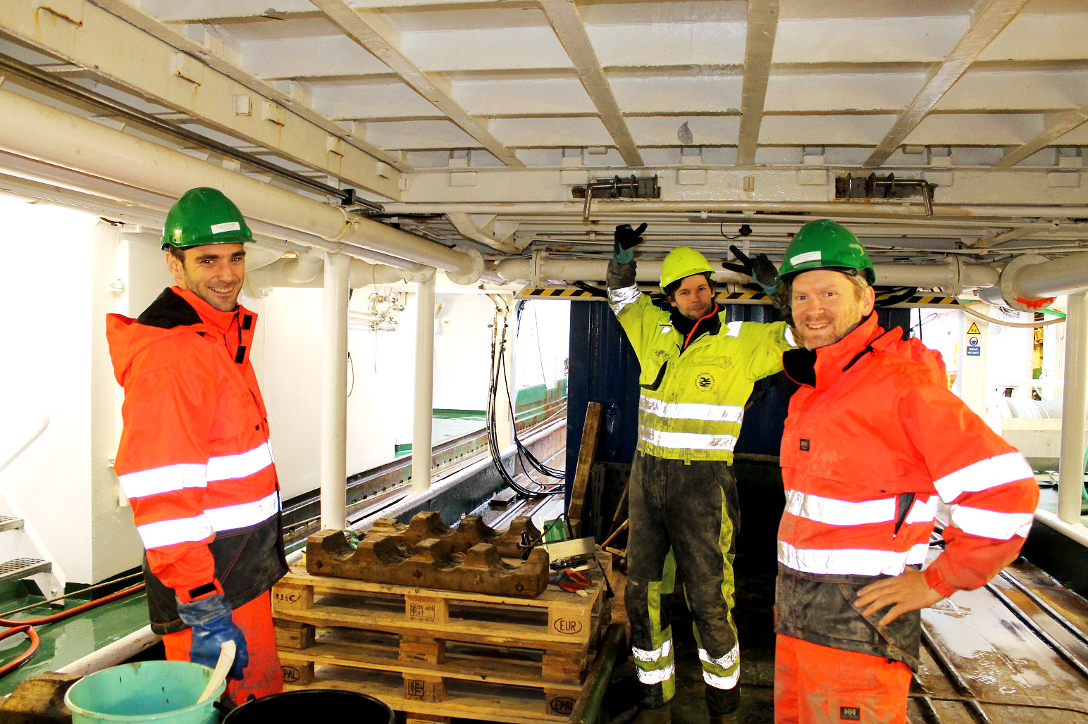
It’s Monday the 13th of July 2020, 13:54:09. According to the plan, the last core for this cruise has just been collected, processed, and put into cold storage waiting to be analyzed once back onshore. It has been an intense three days. Researchers, engineers, and crew members of R/V Helmer Hanssen joined forces for one main goal: to collect gravity cores. We faced several challenges, for example at one site the 6 m-long, steel barrel used for coring bent, proving that sometimes sediments can be too hard to core. Despite all this, by the end, we managed to acquire 20 gravity cores and recover a total of 52 meters of glacigenic and glaciofluvial sediments.

The liner, filled with sediments, is out of the barrel and the team is ready to process the gravity core. Photo by Lina Alexandropoulou These sediment cores will form the basis for the GlaciBar research project led by Mariana Esteves, a researcher at CAGE, UiT. The main objective of this project is to characterize and constrain the timing of glacial retreat of the last Barents Sea Ice Sheet through Sentralbankrenna. This major trough hosted a fast-flowing and marine-terminating ice stream that shared many similarities with glaciers found in Antarctica today.

When there is teamwork, great things can happen. In our case, 20 gravity cores and 52 m of sediment recovery. Photo by Lina Alexandropoulou Working on the deck is always fun especially when the weather is nice, like in our case, allowing us to enjoy the Arctic summer and the midnight sun (even though it prefers to hide behind the clouds). But wait, the research cruise hasn’t finished yet. Now it’s time to go back to the instrument room where new scientific surprises are waiting for us
-
Into the blue
Text and photos: Henry Patton, chief scientist
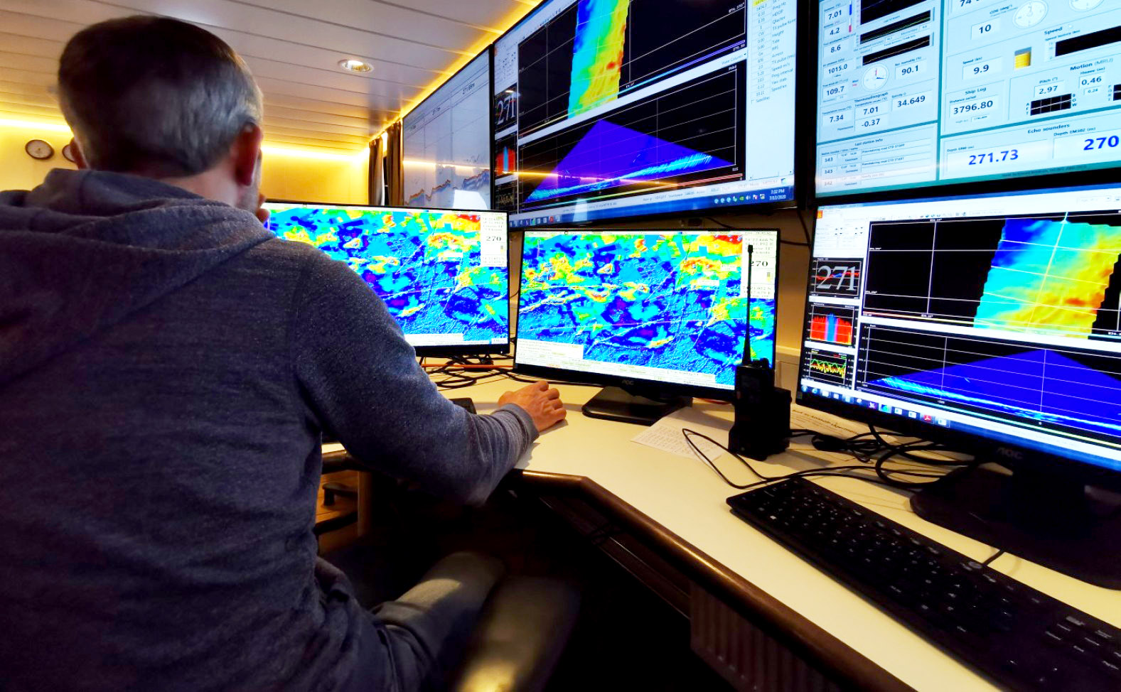
Even by generous estimates, around 80% of the world’s oceans have not been surveyed – the surface of Mars is better mapped than our own planet. This fact rings true in the Barents Sea as well, where there are still vast areas where we don’t really know what the seafloor looks like. Imaging and reconstructing the landform imprint left behind by the last ice sheet is therefore much like trying to complete a vast unfinished jigsaw puzzle, where there are still more pieces left in the box than on the table.

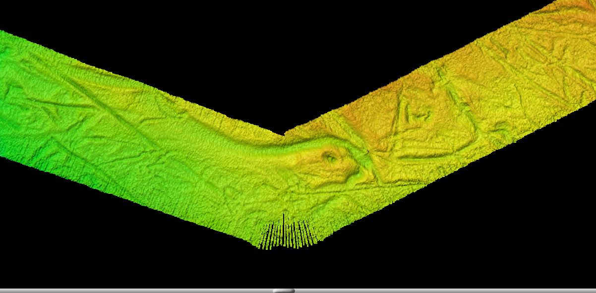
Here is one such jigsaw piece we found and surveyed this week. This impressive channel feature carried vast quantities of water beneath the ice sheet, which perhaps came via vertical pipes that captured meltwater from the ice-sheet surface above. Like in river systems that you see onshore, there are similar morphologies in these subglacial features too, including channel braiding and the occasionally connected lake basin.

Knowing these features exist and that water was abundant gives us clues into what conditions were like at the base of the ice sheet, and into the processes of how the ice sheet eventually collapsed.
Surveying the seafloor is a frustratingly slow process – to get images of sufficient quality we are sailing at less than 20 km per hour. However, the live data feed that comes in makes great ‘slow TV’ for geoscientists! From the warmth of the instrument room, it’s possible to be captivated for hours, watching as the glacial landforms slowly reveal themselves and never knowing what to expect next. Of course, there are many teasing features that we see along the way that would be great to visit, but time is limited and we must be patient and come back another year to add more pieces to the puzzle.
-
Birds will be birds
Text and photos: Frances Cooke, phd CAGE.
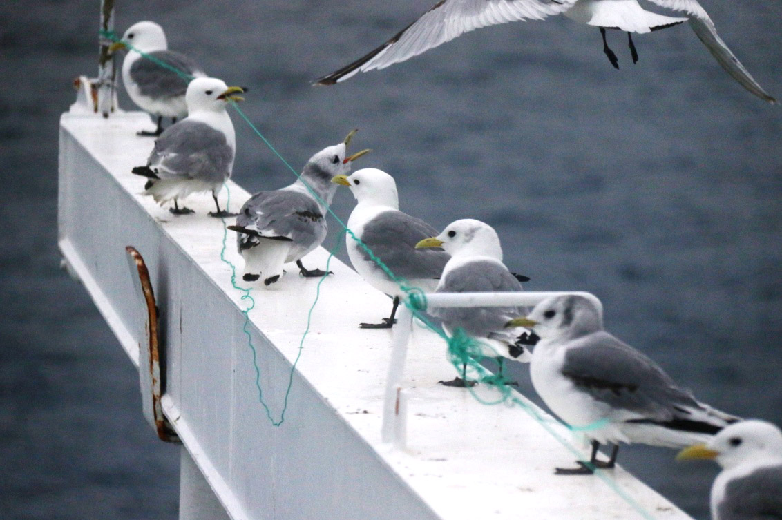
I arrived in Tromsø in 2019 at the end of spring. It is this time of year that Tromsø’s inhabitants start preparing the exterior of their houses for the summer. This may include dust blowing, snow spreading, and for many putting up kite bird repellers to deter the seagulls. Currently out in the Barents Sea on the Helmer Hanssen there is no deterring the birds. Stein, one of the ship’s deckhands has designed his own bird deterrent.

It has since been referred to as the bird scratcher, as a bird (pictured) has finely demonstrated. With the intent to scare the birds away, Stein’s bird deterrent became a favorite spot for the birds to rest. He is now working on an improved model.

I haven’t always been a bird enthusiast. My fascination began when I started to work on ships in 2010. You develop a certain respect for them being out in the open ocean, forgetting that this is their natural environment and that they are, of course, adapted to these conditions.
Early on in my career, I was working on a ship in the North sea. One morning I walked into the instrument room to find a pigeon standing there. It seemed quite happy so I let it be. It was no ordinary pigeon, it was well looked after – a homing or racing pigeon. I hadn’t expected a bird like that to come out to sea, I thought they found their way following roads or landmarks. I decided to keep an eye on it over the course of the day. I took a break and went to check on the new crew member, only to be told that it had just been caught and taken to the galley by the Indonesian cook. I asked what he might be doing with a bird in the galley, not thinking that someone would actually consider eating this pigeon. I ran to the galley. “What are you doing with the pigeon!” – “I’m going to cook it” he said. “..But you can’t do that, it belongs to someone!” I was relieved to find that the pigeon was alive and well. It was handed to me. The poor thing was so trusting, had no idea that some humans, knew nothing of its importance!
Some years later I decided to place myself in a warmer part of the world – in Australia. I was on a ship with one of Tasmania’s highly regarded and most passionate marine ornithologists – affectionately known as ‘Bird Man’. He had dedicated his whole life to protecting birds and cared for them as much as one would their own children. I learned from him how to identify birds from their motion in flight. Some would flutter, almost butterfly-like and others would take advantage of the lift from the waves and tilt repeatedly from one side to the next dipping their wings right down to the water’s edge, with tremendous precision. Others would soar high above, like a kite, namely, the Frigatebird. To Bird Man’s dismay, I developed a distaste for this bird. The Frigatebird, also known as the ‘Pirate of the Sea’ is kleptoparasitic. Yes, you guessed correctly, it chooses prey that have recently fed, latches onto them, making them regurgitate their food, and then eats that regurgitated food. This is how they feed. It quickly adopted a new name that was banned from use on Bird Man’s watch – ‘The Frigging Frigate’.

No penguins here. But are we seeing fish or flares? It was on a voyage to the remote sub-Antarctic Heard and McDonald Islands in 2016 that inspired my move to the Arctic – to CAGE, and not because of the penguins (..!) but they were an impressive part of the scenery. We were not there to study penguin colonies but to hunt for gas flares seeping from the seafloor. A notable difference in data collection here in the Arctic is the absence of water column disturbance from penguins streamlining through the path of the multibeam echosounder. There is a very high flaring activity in the Barents Sea and we are here monitoring that activity. There are many clues in the data that corroborate flare presence, for example, pockmarks or circular depressions found on the seafloor that are collapse features. There are fish that are known to make homes in these shallow craters. You may often hear, “Are we seeing fish or flares?” and where there are fish there will always be birds!
-
Into the heart of an ancient ice sheet
Text: Henry Patton, chief scientist.
During the last ice age a vast, 3-km thick ice sheet covered much of Fennoscandia and the Barents Sea. Yet, around 15,000 years ago, its marine-based sectors collapsed catastrophically within a matter of centuries. One of the primary objectives for our team of 5 scientists and 2 engineers over the next two weeks will be to sail into the central Barents Sea to unlock some of the secrets behind how and why this ancient ice mass rapidly disintegrated.
We left Tromsø on July 8th on-board the research vessel Helmer Hanssen, leaving behind the calm waters and sunny vistas of Lyngen and northern Troms. Our first study area is ‘Sentralbanken’, an area that lay at the centre of this Barents Sea ice sheet and where some of its last icy remnants persisted. The transit there is a long one, taking over a day to sail. However, this is not wasted time and there is always plenty to do in preparation, including making sure all the geophysical equipment is working, setting up the instrument room for processing incoming data, and refining our research plans. So far no hitches!

Leaving Arnøya behind. Heading for The Barents Sea, Photo: Henry Patton Our route north has also been strategic, taking the opportunity to investigate potential areas of methane seepage from the seafloor, for example, where this ice sheet has eroded the constraining cap rocks; so far our predictions have proved very fruitful, with many newly discovered flaring locations.

Preliminary data show methane flares where gas is escaping from the seafloor into the ocean. Once we reach Sentralbanken we will begin our plans to survey the glacial fingerprint left behind on the seafloor by the ice sheet, as well as collecting glacial sediments that will help unravel the deglaciation story here, including when the ice retreated and what conditions were like beneath the glacier. We keep our fingers crossed for some calm weather ahead.
-

Wrapped up on the way home
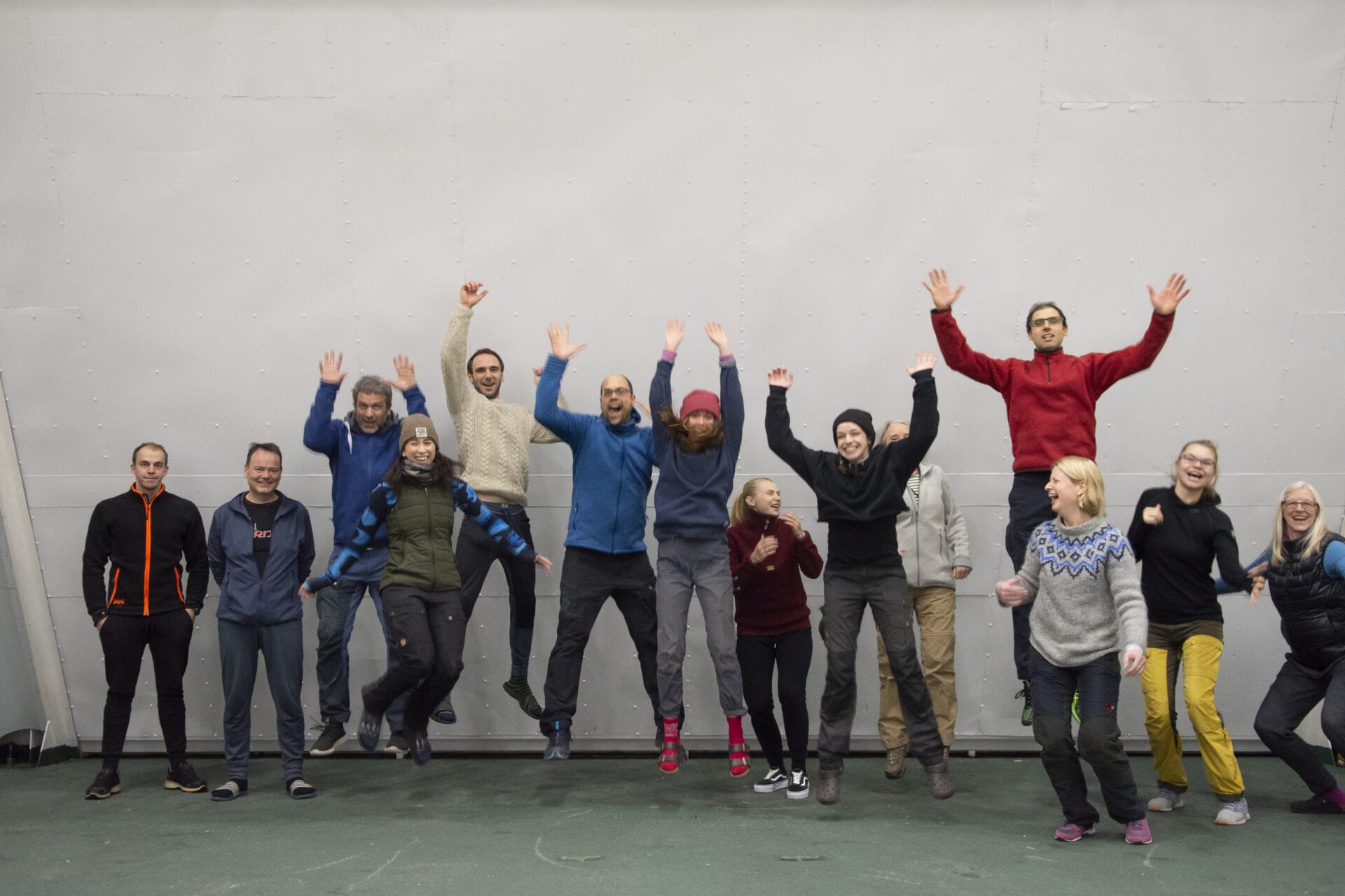
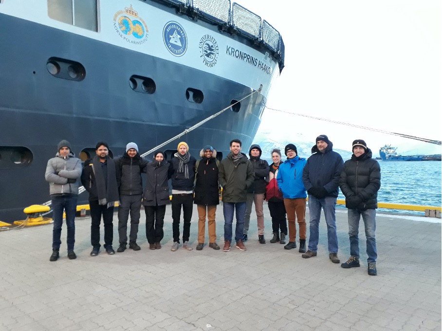
After discovering new hot spots for methane release and collecting nice new data set, we are now ready to go home. On the transit to Tromsø, it is time to clean all the labs, tidy up our equipment, and prepare the list of what goes where once on land. It is also the perfect moment, when everybody is up, to take the inevitable group picture. We called our cruise “the first COVID cruise”, and the picture illustrates it well.
I take the advantage of this post to thank all the crew members that did an amazing job recovering the lander (I think 25min is a record) without any hiccups despite strong winds, the engineers Truls and Stormer, and of course the scientific team for their quick reactions and good company!
Till next time!
Benedicte Férré, Chief Scientist
-
Hunting for flares
For the duration of this cruise, we are hunters. Not for wildlife, not for the perfect photo, and not even for treasures. Our target might not be a living organism but it is just as elusive and, as we will find out, difficult to track : we are searching for methane flares.
Text and images: Marie Stetzler
-
Murphy’s law strikes in High Arctic
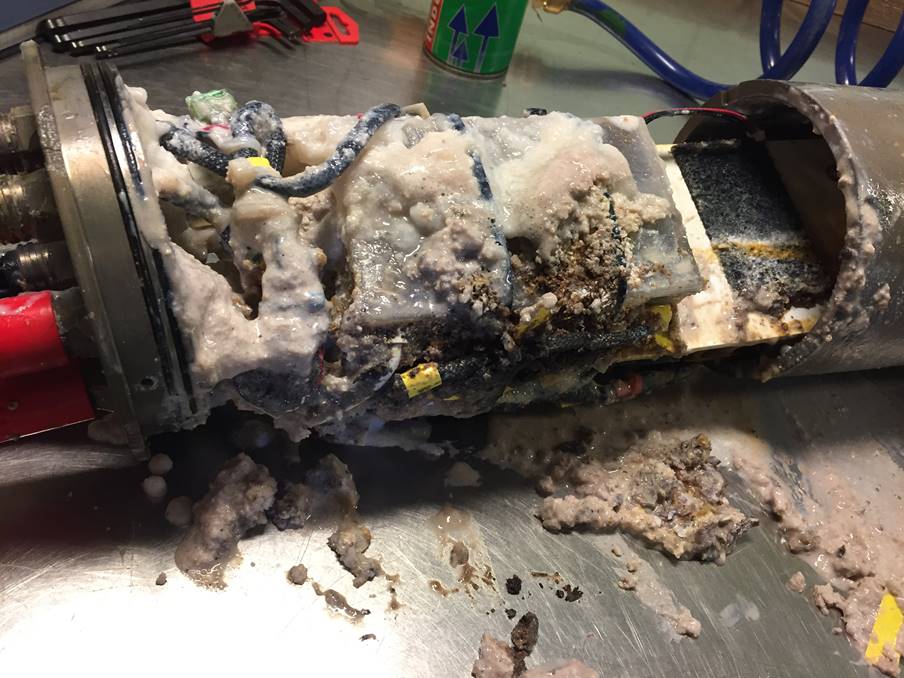
According to the so-called Murphy’s law “If something can go wrong, it will. And usually at the worst time.”
Text and images: Benedicte Férré
-
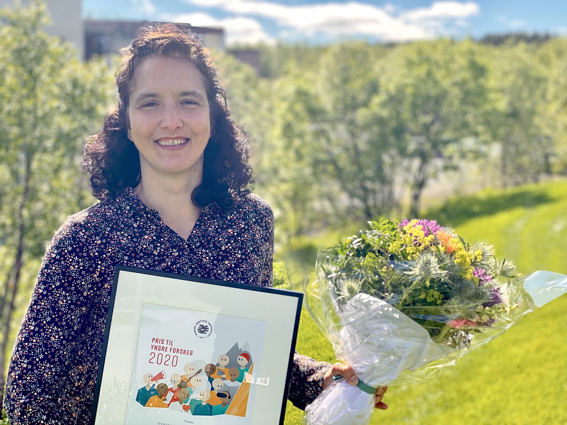
Andreia Plaza-Faverola wins Young Researcher Award at UiT
She was given the award for her leadership talents, and for excelling as an early career scientist ever since she joined UiT The Arctic University of Norway as a PhD student.
Text and photo: Maja Sojtaric
-
The last day
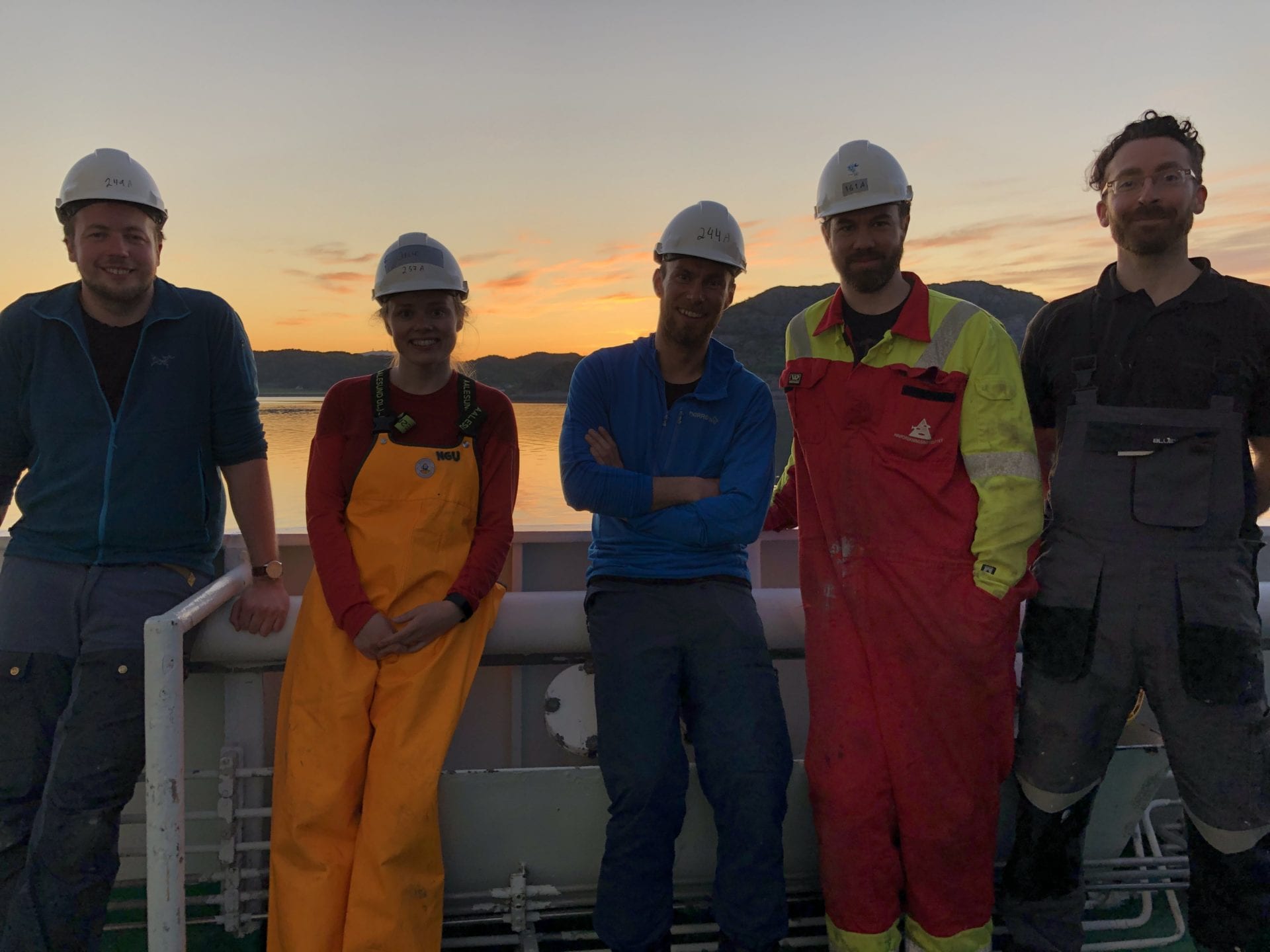
We ended the cruise in the Trondheimsfjord. After completing the program in the Vestbrona Volcanic Province with the discovery of a new cold vent with gas flares, carbonate crusts, and bacterial mats, there was nothing more to achieve than enjoy the scenery of Norway’s landscape.
Text and photos: Jochen Knies, Chief Scientist.
-
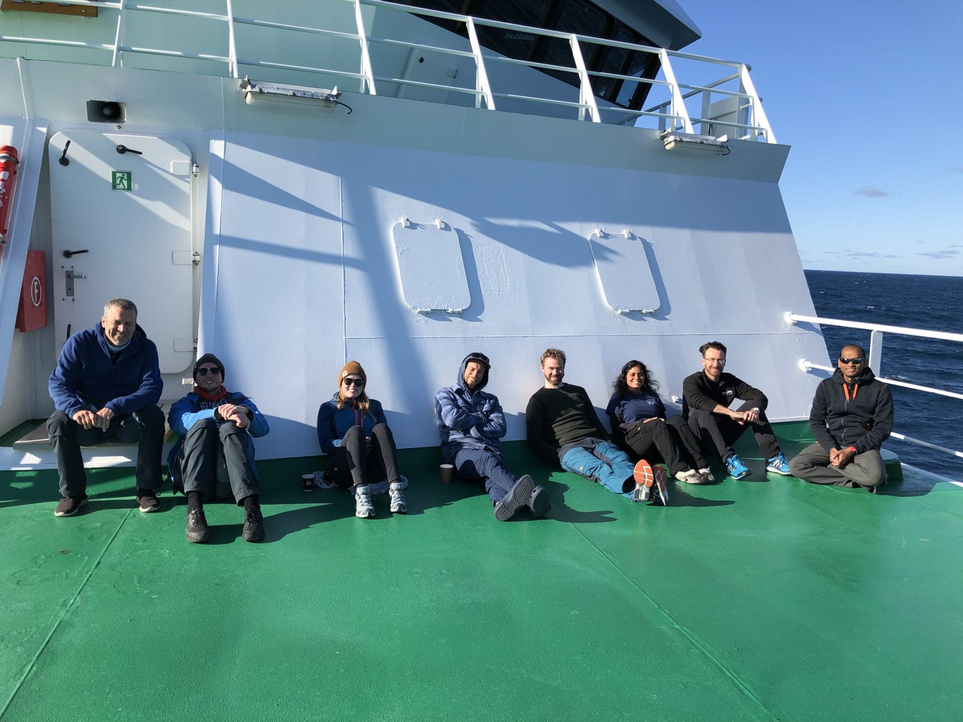
You cannot work for 24 hours!
What is the purpose of a research cruise, you may ask? Yes, spend the time wisely and get as much done as possible. The cruise leader’s responsibility is written in a manual, but if you face reality it is just another piece of paper.
Text: Jochen Knies, chief scientist.
-

Paparazzi on the high seas
Being in the limelight can be so stressful, it can lead people to give up royalty.
Text and photos: Arunima Sen, Nord University @BentohosEcology
-
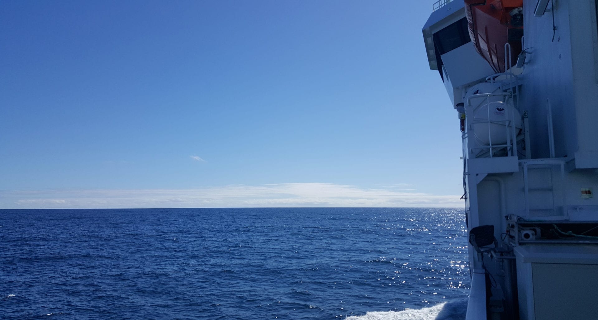
Steaming south-southwest
After we finished the final ROV operations at the South Canyon in Lofoten around Monday midnight, the scientists were busy organizing the new samples in the early Tuesday morning.
Text and photos: Tobias Himmler, researcher Geological Survey of Norway (NGU).
-
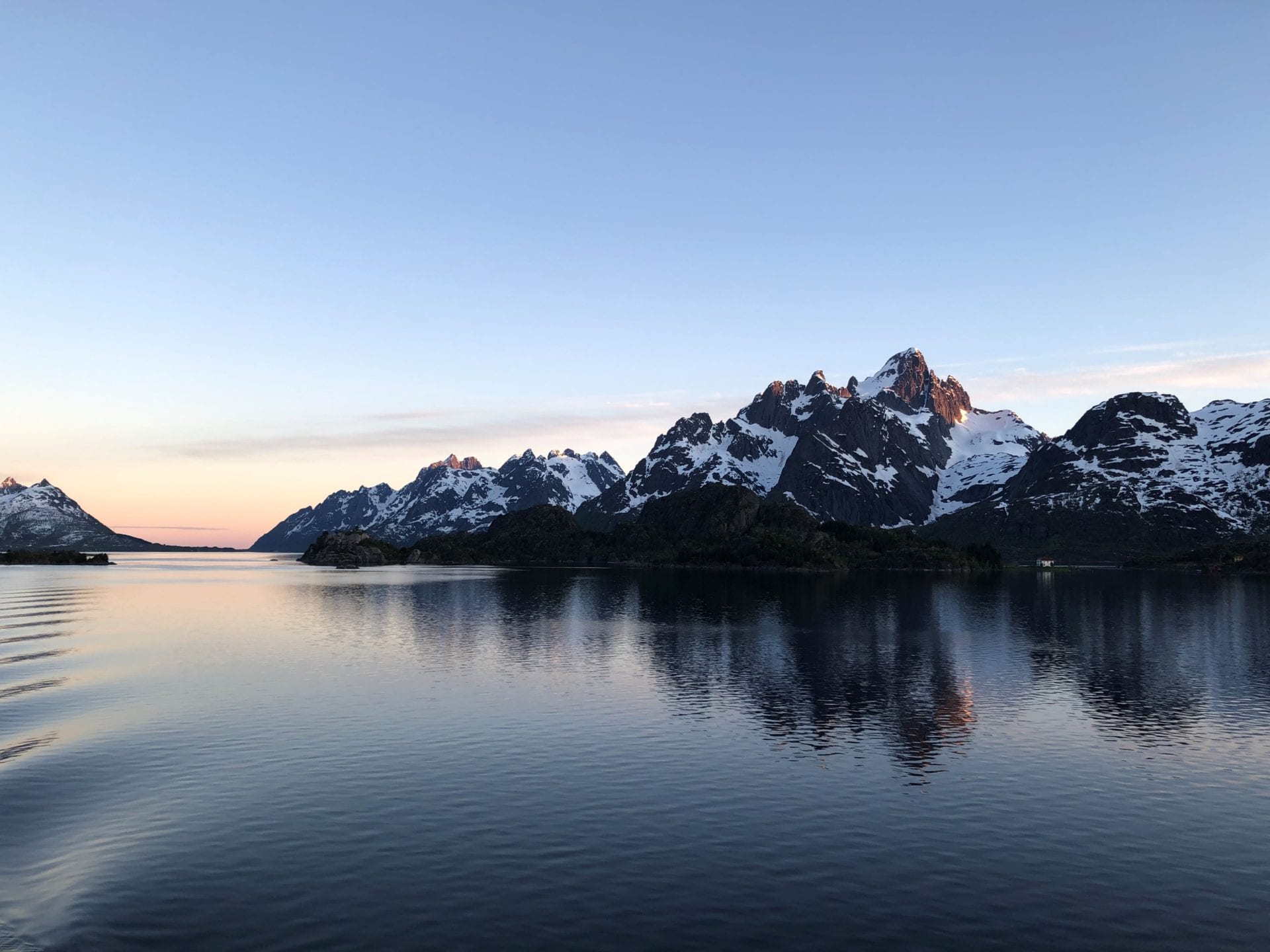
Midnight sun trip through amazing scenery
As I’m writing this, we’ve just finished our first-day onboard Research Vessel G.O. Sars.
Text: Julie Heggdal Velle, a researcher in marine geology. Geological Survey of Norway
-
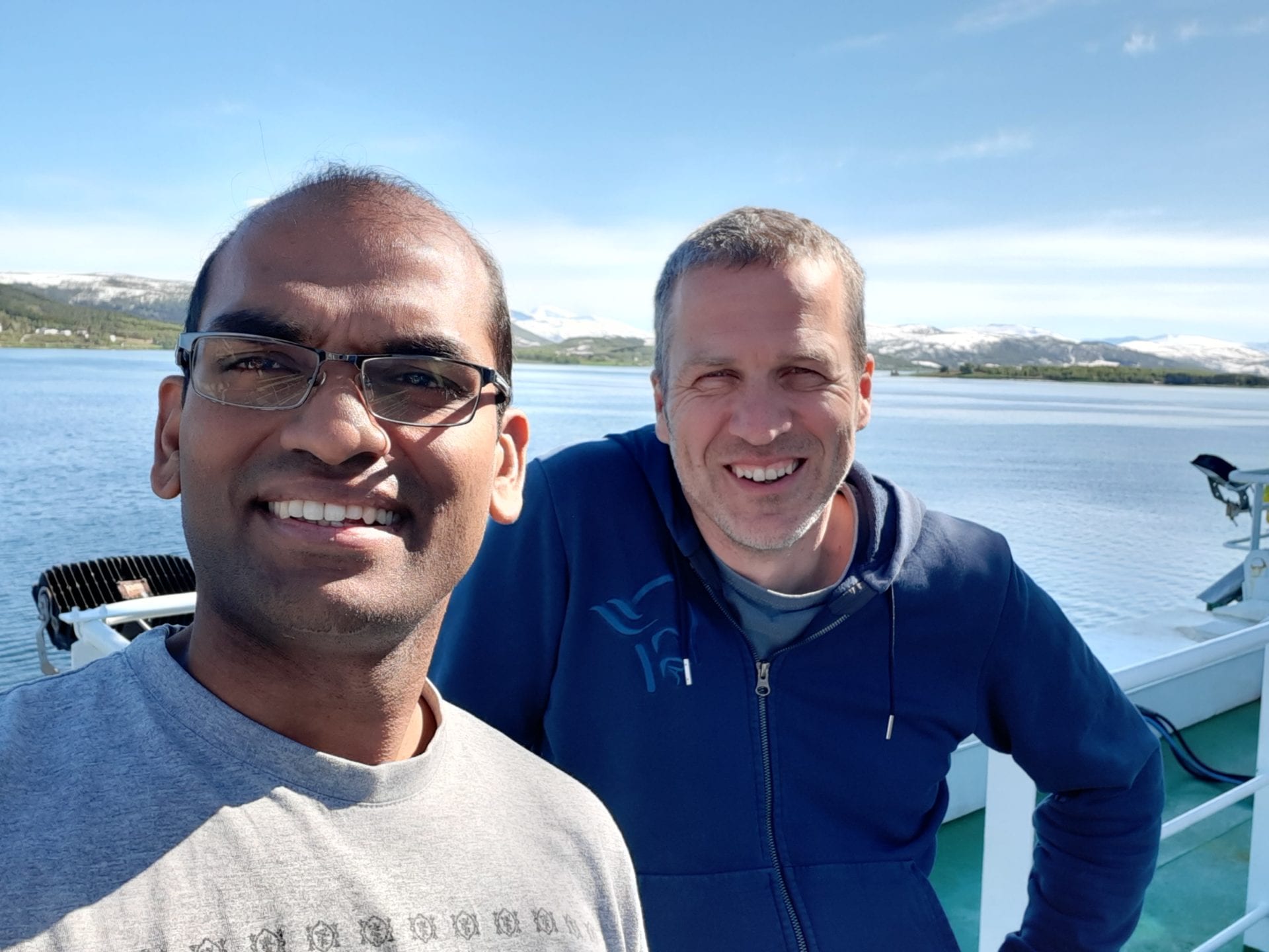
Leaving Tromsø onboard RV “G.O. Sars” on a brilliant summer day
We set out for a journey, chasing the freshwater from an ancient ice sheet, on board “G.O. Sars” on June 6th on a brilliant day with sunshine and calm weather.
Text: Jochen Knies
-
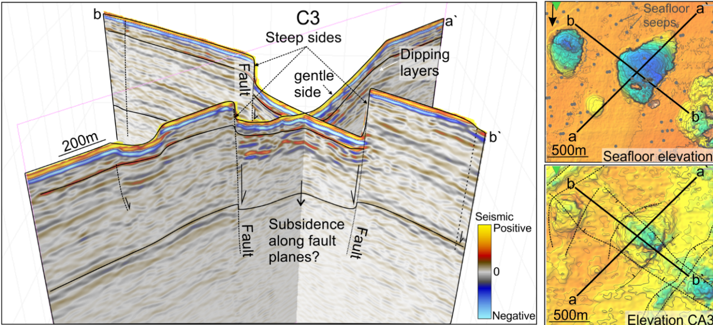
New study reveals cracks beneath giant, methane gushing craters
250-million-year-old cracks in the seafloor feed greenhouse gas methane into giant craters in the Barents Sea. More than 100 craters, presently expelling enormous amounts of the greenhouse gas into the ocean, are found in the area.
Text: Maja Sojtaric
-
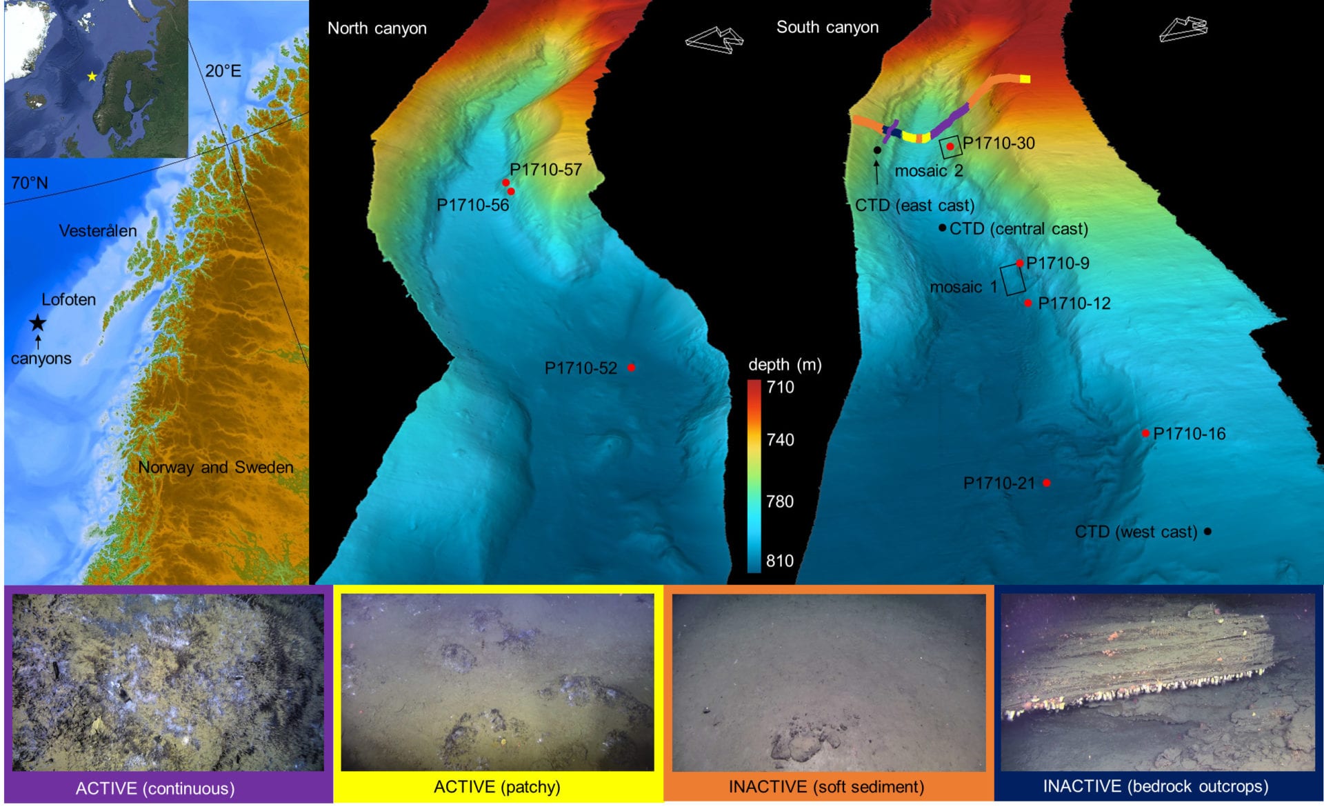
Chasing the freshwater from an old ice sheet
During a spectacular cruise in 2017 onboard RV “G.O. Sars” a CAGE team of scientists discovered a new cold seep from the Lofoten-Vesterålen margin (Norwegian Sea). This summer, the team is back at the site and will try to find more evidence for the ultimate driver for this cold seep.
Text: Jochen Knies
-
May-June
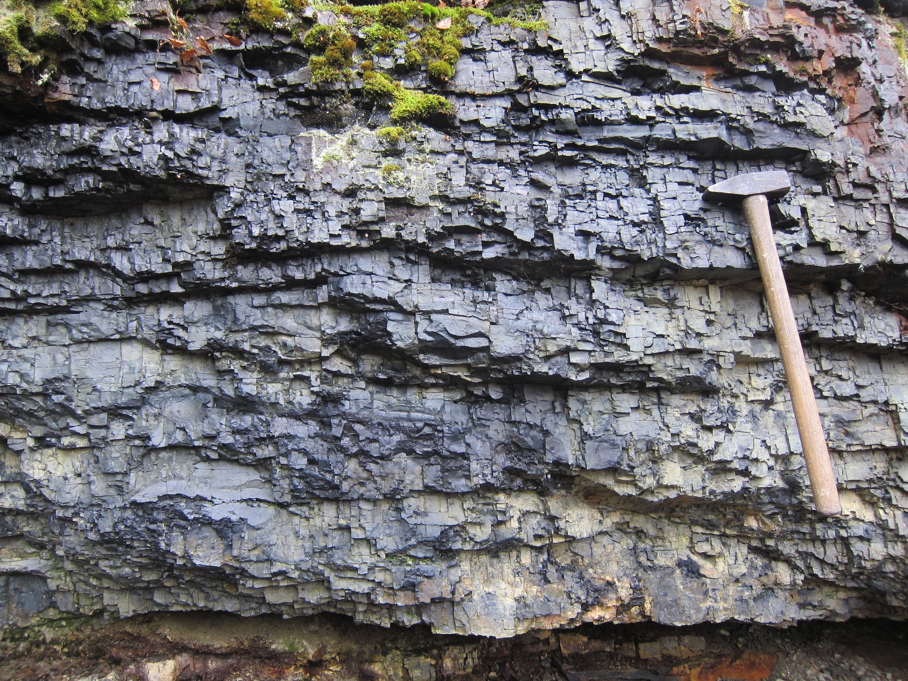
This is shungite, a unique carbon-rich sedimentary rock from Russia that deposited 2 billion years ago. It holds clues about oxygen concentrations on Earth’s surface at that time. According to a new study in Nature Geoscience, with participation from CAGE, there were elevated levels of oxygen at the time when the shungite was deposited.
This contradicts the widely-accepted models of Earth’s carbon and oxygen cycles, which predict that shungite should have been deposited at a time of rapid decrease in oxygen levels.
Why is this important?: “These new findings are also crucial for understanding the evolution of complex life.” according to this article in Eurekalert.org.
Geology. Pretty awesome.
Photo: Aivo Lepland, NGU/CAGE.
-

Elevated methane levels do not impact tiny Arctic organisms
There is no evidence that elevated methane levels have a direct impact on planktonic foraminifera and sea snails in the Barents Sea, according to a recent study in the Journal of Geophysical Research: Biogeosciences.
Text: Maja Sojtaric
-

Haoyi Yao defended thesis online
Haoyi Yao defended her thesis in cyberspace, due to strict social distancing restrictions implemented by the Norwegian government to tackle the spread of the coronavirus. Both the trial lecture and the defense went ahead as planned March 26, 2020, thanks to digital technology.
Text: Maja Sojtaric
-
March-April
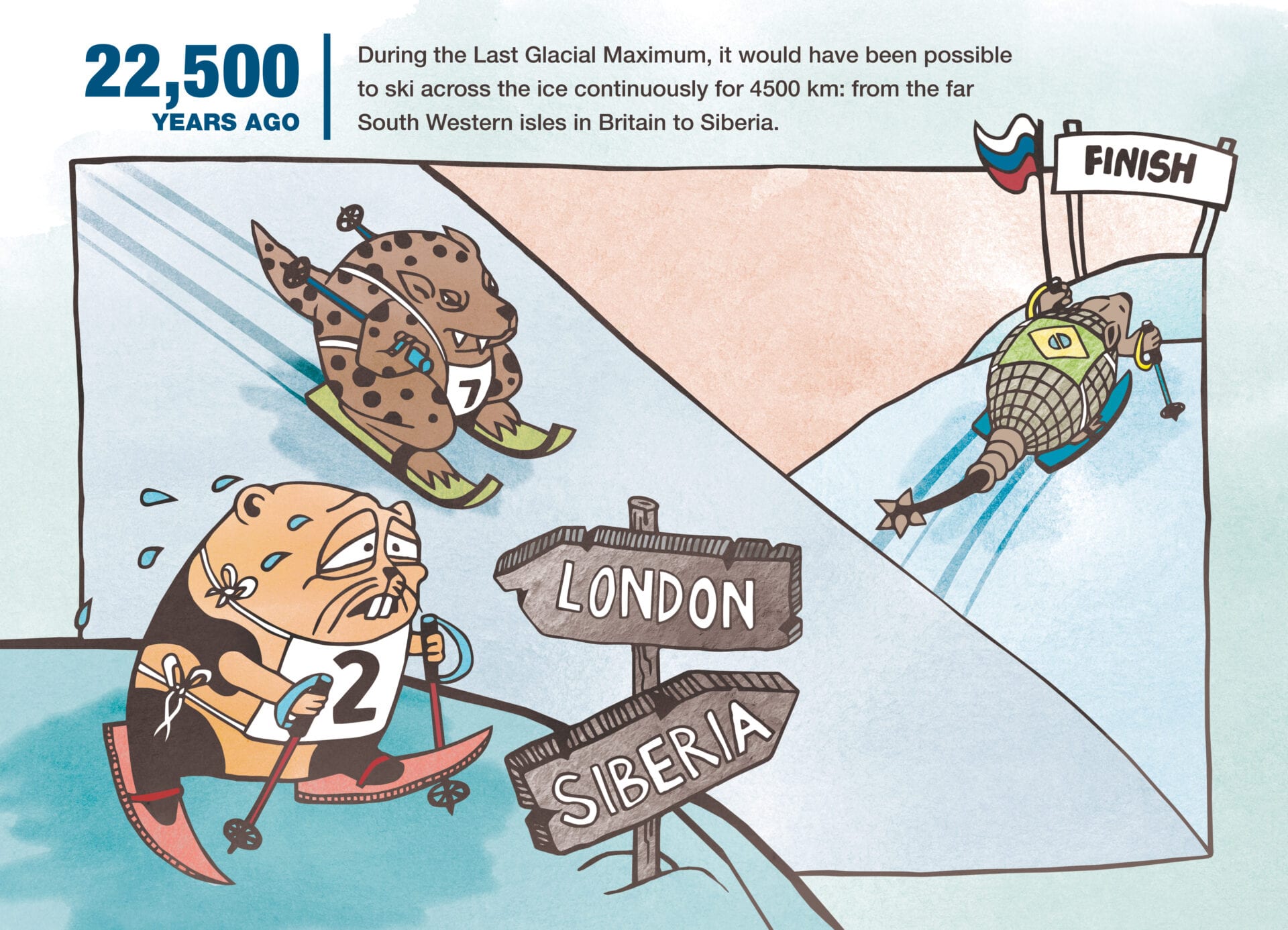
Are you a teacher or a parent looking for educational resources during the coronavirus lockdown? Check out icemap.no
A giant ice sheet covered northern Europe during prehistoric times. In the Icemap story, we show you how this powerful mass of ice dramatically transformed Europe at a time when humans first came to populate the continent.
Interact with the ice age simulation, follow how the ice sheet grew and melted, and see how it affected our buddy Lenny Lemming* as he travels through thousands of years of climate change.
-
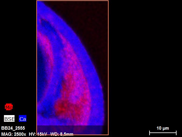
Intensity of past methane release measured with new, groundbreaking methods
Novel geochemical measurements help scientists reconstruct the past intensity of the methane seeps in the Arctic Ocean. A study in Scientific Reports shows that methane emissions fluctuated, strongly, in response to known periods of abrupt temperature changes at the end of the last glacial cycle.
Text: Maja Sojtaric
-

Climate gas budgets highly overestimate methane discharge from Arctic Ocean
There is a huge seasonal variability in methane seeps in the Arctic Ocean, according to a new paper in Nature Geoscience. “During cold periods the emissions from these seeps are almost halved, as if they are hibernating”, says Benedicte Ferré, the first author of the paper.
Text: Maja Sojtaric
-
January
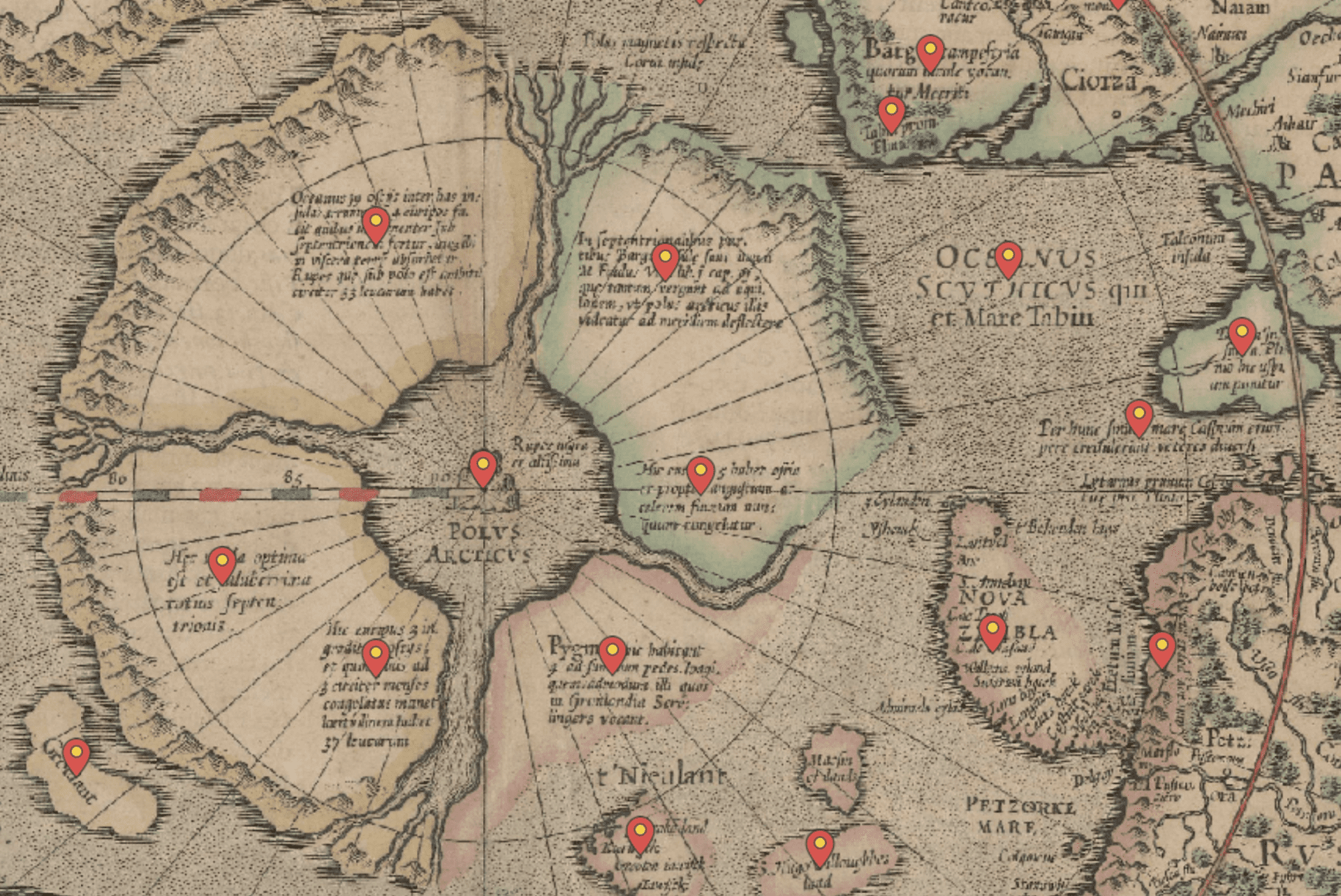
Our scientists have many talents besides research. Henry Patton, for instance, has a talent for maps. He has created an interactive journey through the first ever map of the Arctic Ocean and the circumpolar area, made by Gerard Mercator in 1595. Patton’s take on the map is an interesting collection of past myths and contemporary knowledge. It is overlain on top of the current map of the Arctic Ocean, providing an interesting perspective on history of science.
Check out the interactive map here: Mercator´s 1595 view of the Arctic
-
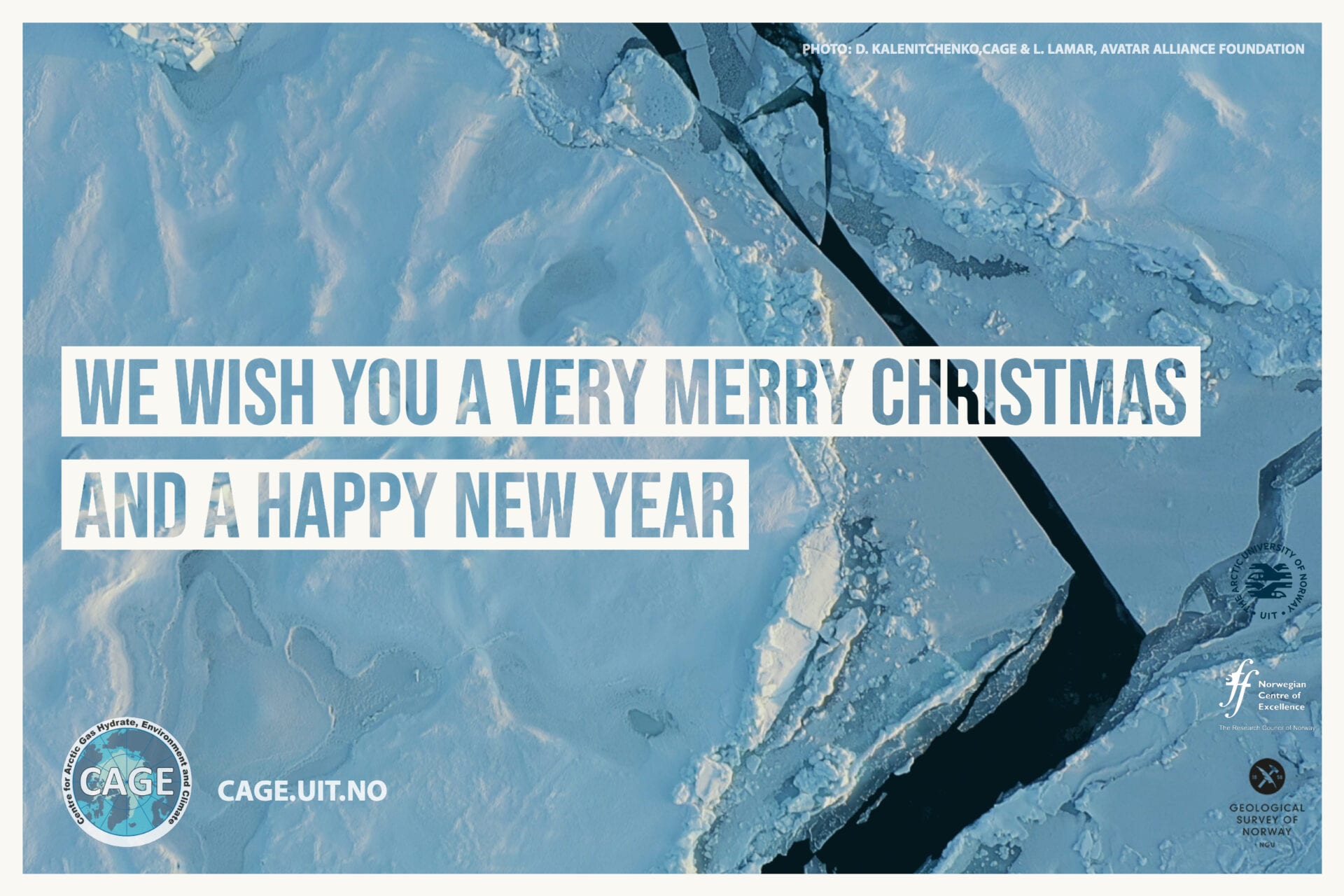
Thank you for your support in 2019 and best wishes for the holidays!
We bid farewell to an eventful decade here at CAGE – Centre for Arctic Gas Hydrate, Environment and Climate, and look forward to 2020 with great anticipation. I wish to extend my heartfelt thanks to all our friends, colleagues, supporters, collaborators and funders. You all make striving for new frontiers in science a pleasure. We hope you all have wonderful holidays with your near and dear.
Kindest Regards,
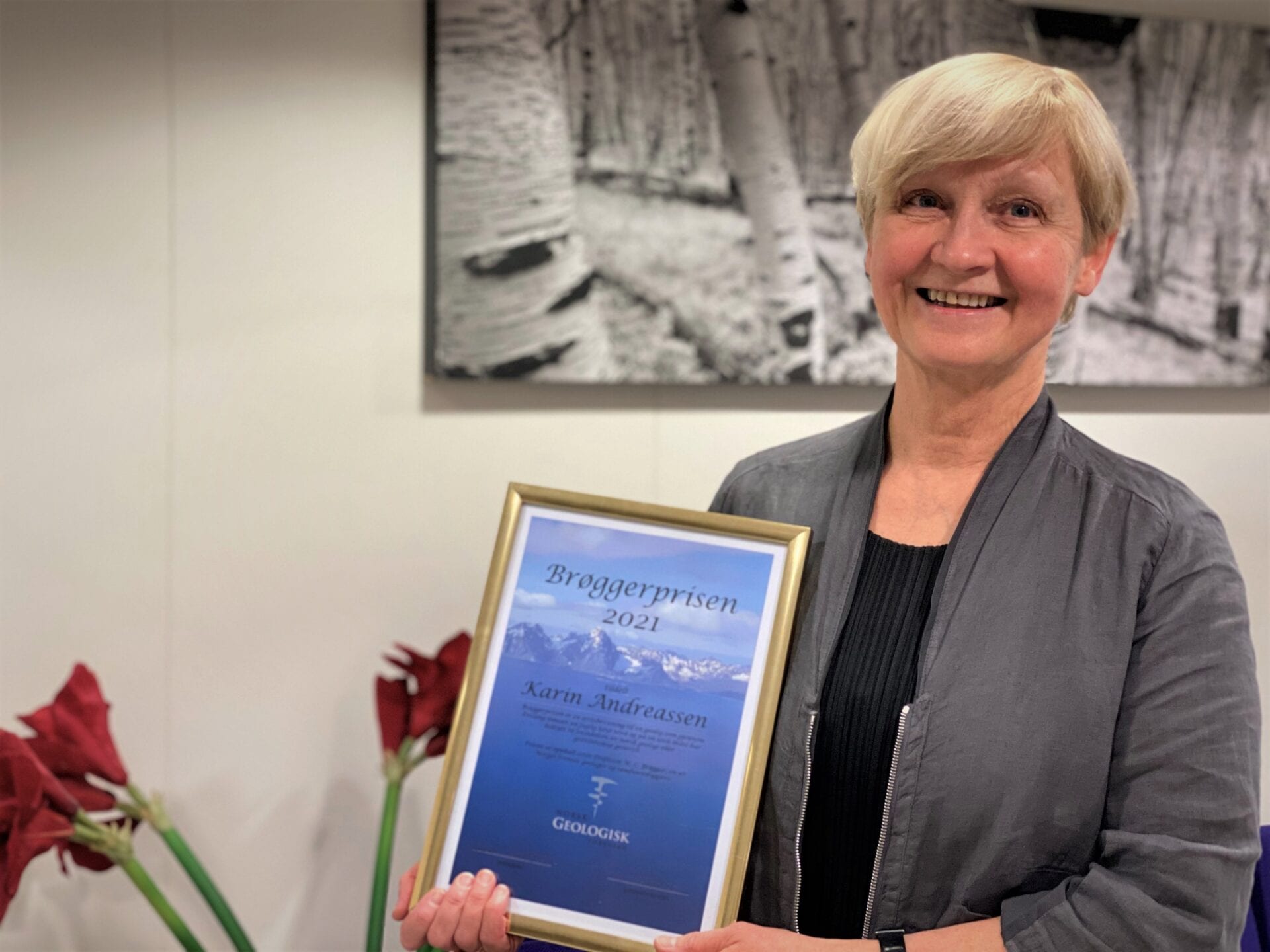
Karin Andreassen, Director CAGE.
-
December
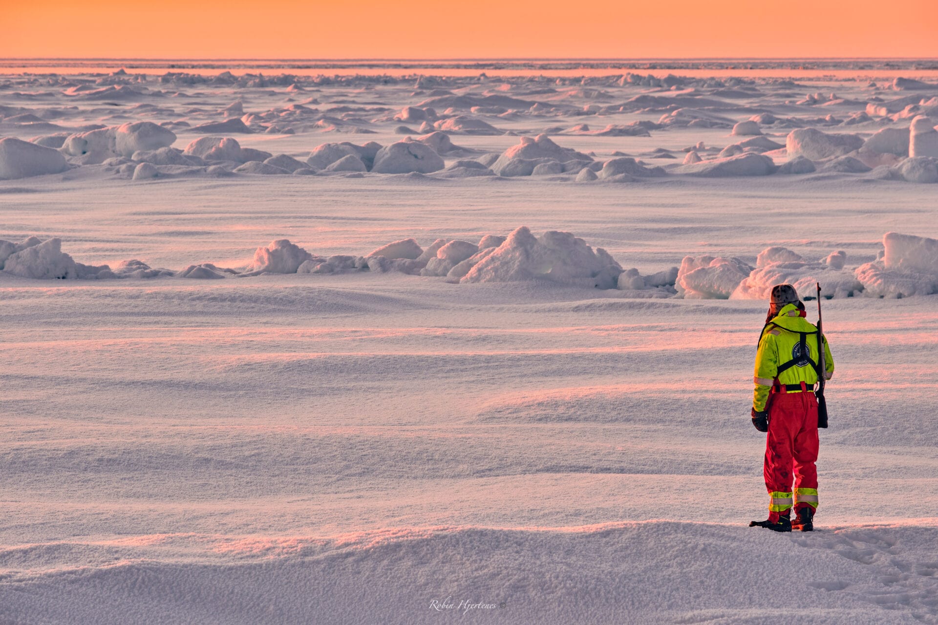
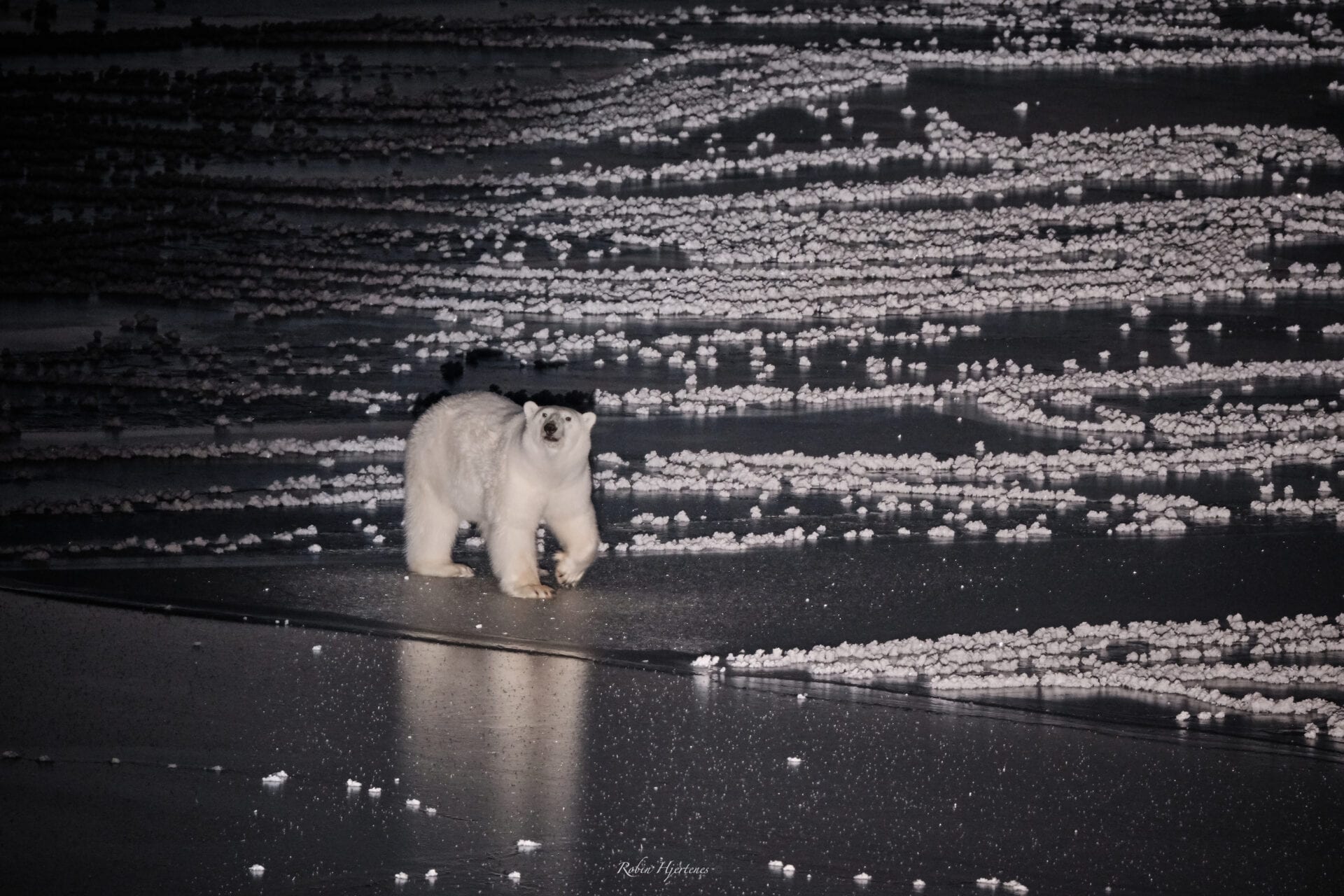
A polar bear, standing on top of the frozen ocean, looks curiously at the Research Vessel Kronprins Haakon. Ice covered Arctic Ocean is the natural habitat for the polar bear, a beautiful but also very dangerous animal. Scientist must take great care not to interfere with the polar bears, they are best viewed from the safety of the ship. Photo: Robin Hjertenes
-
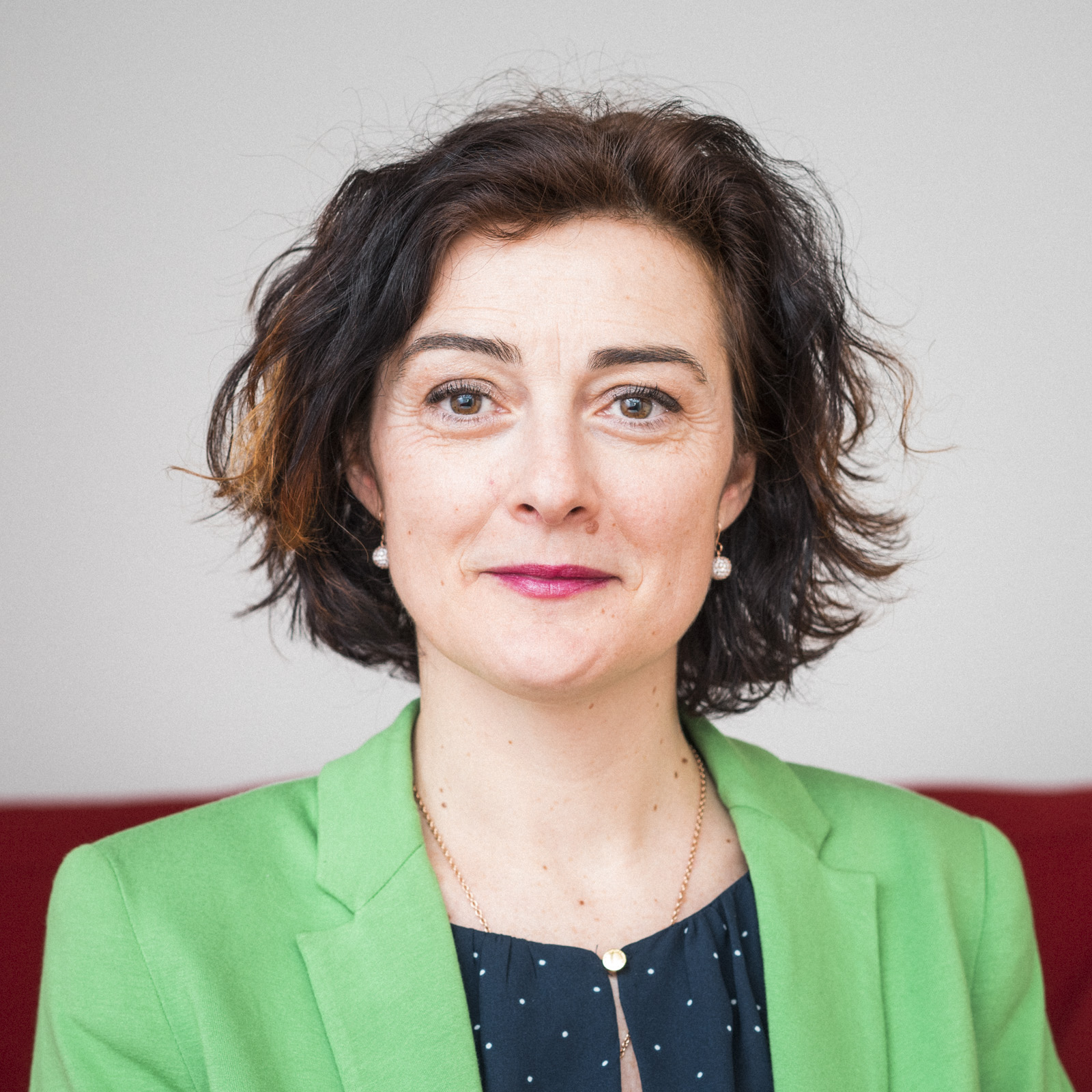
Giuliana Panieri elected as General Secretary of the EGU
CAGE – professor will serve as General Secretary for the European Geosciences Union for two years, starting in May 2020.
Text: Maja Sojtaric
-

CAGE contributes to new Norwegian deep-ocean observation system
NorEMSO – a new ocean observation system in the Nordic Seas – has received 60 million Norwegian kroner from the Research Council of Norway. This will fill a huge gap in the European ocean monitoring network, says co-leader Benedicte Ferré from CAGE.
Text: Maja Sojtaric
-
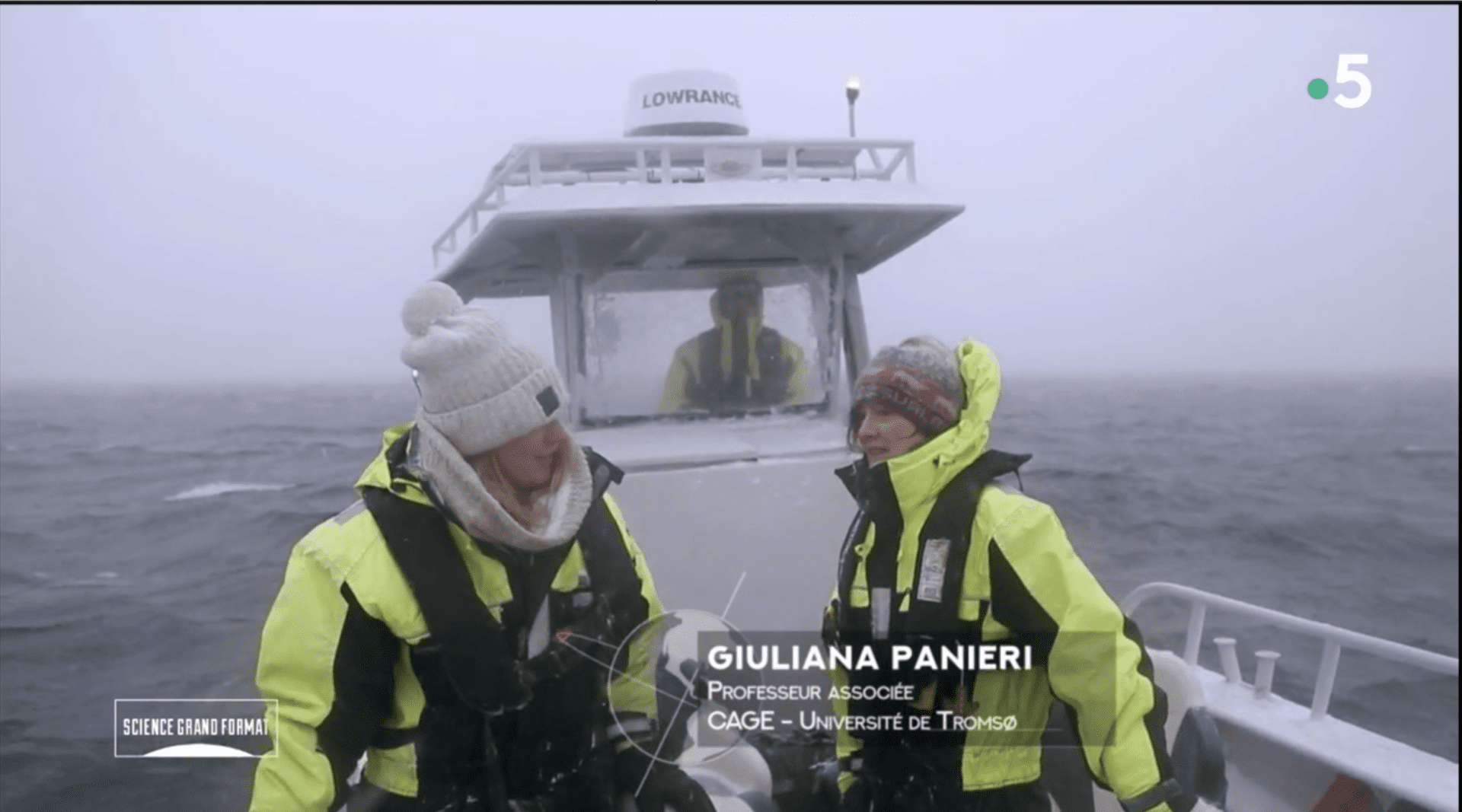
New French documentary on polar science with participation from CAGE-professor
Professor Giuliana Panieri contributes to a new documentary on France 5. The documentary aims to highlight scientists who do research in some of the most extreme environments on the planet: Arctic and Antarctica.
Text: Maja Sojtaric
-
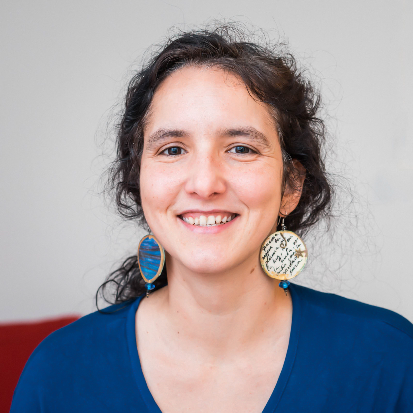
Andreia Plaza-Faverola wins Award for Women in Geosciences
Else-Ragnhild Neumann Award for Women in Geosciences goes to women who through PhD or postdoctoral work have made a significant contribution to research in the field.
Text: Maja Sojtaric
-
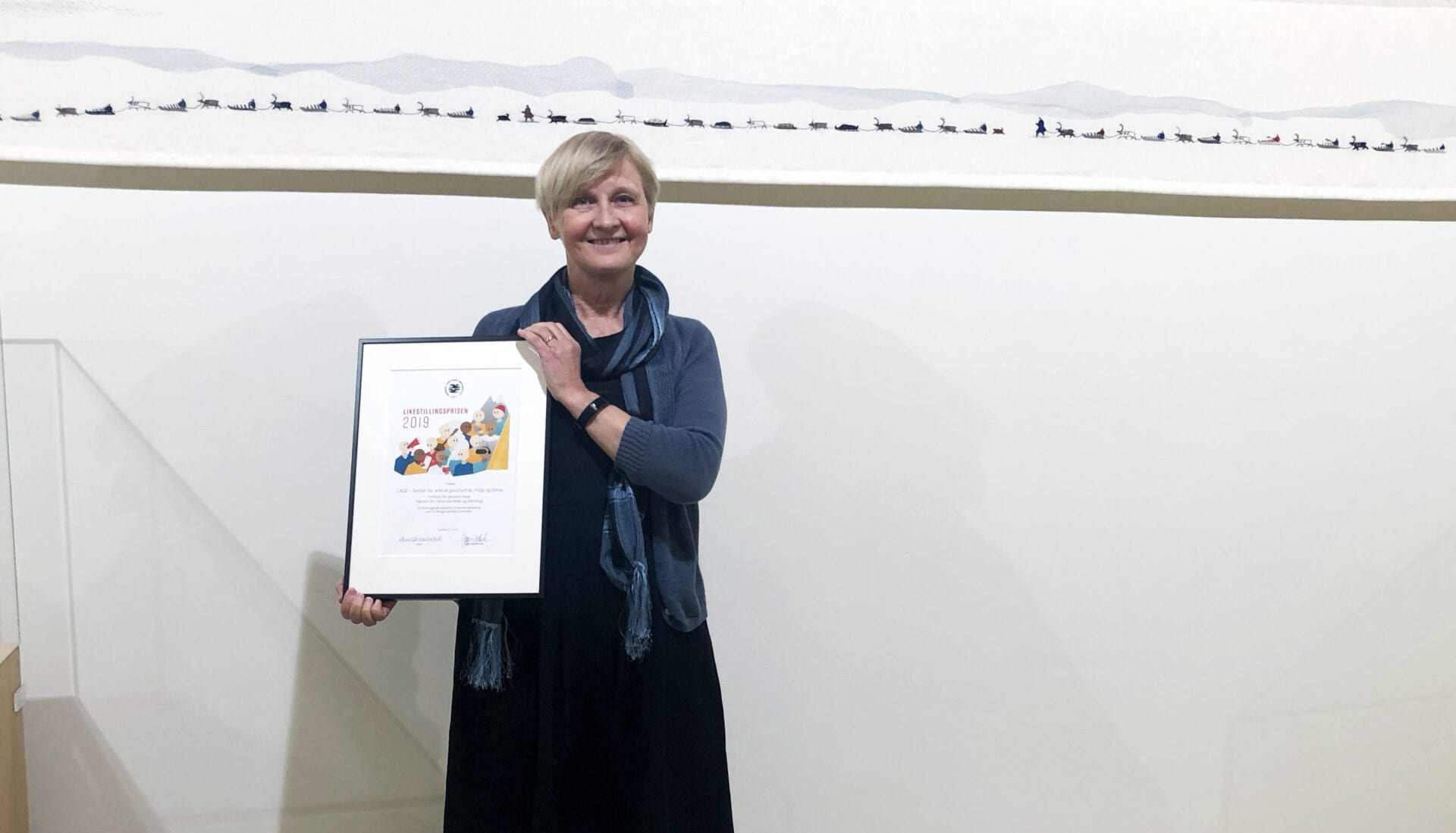
CAGE wins Gender Equality Award at UiT The Arctic University of Norway
The center of excellence has had gender equality in all positions from its start in 2013. “During this time, we have published over 300 scientific papers and welcomed 18 CAGE-babies to the world”, says CAGE director Karin Andreassen.
Text and photos: Maja Sojtaric
-
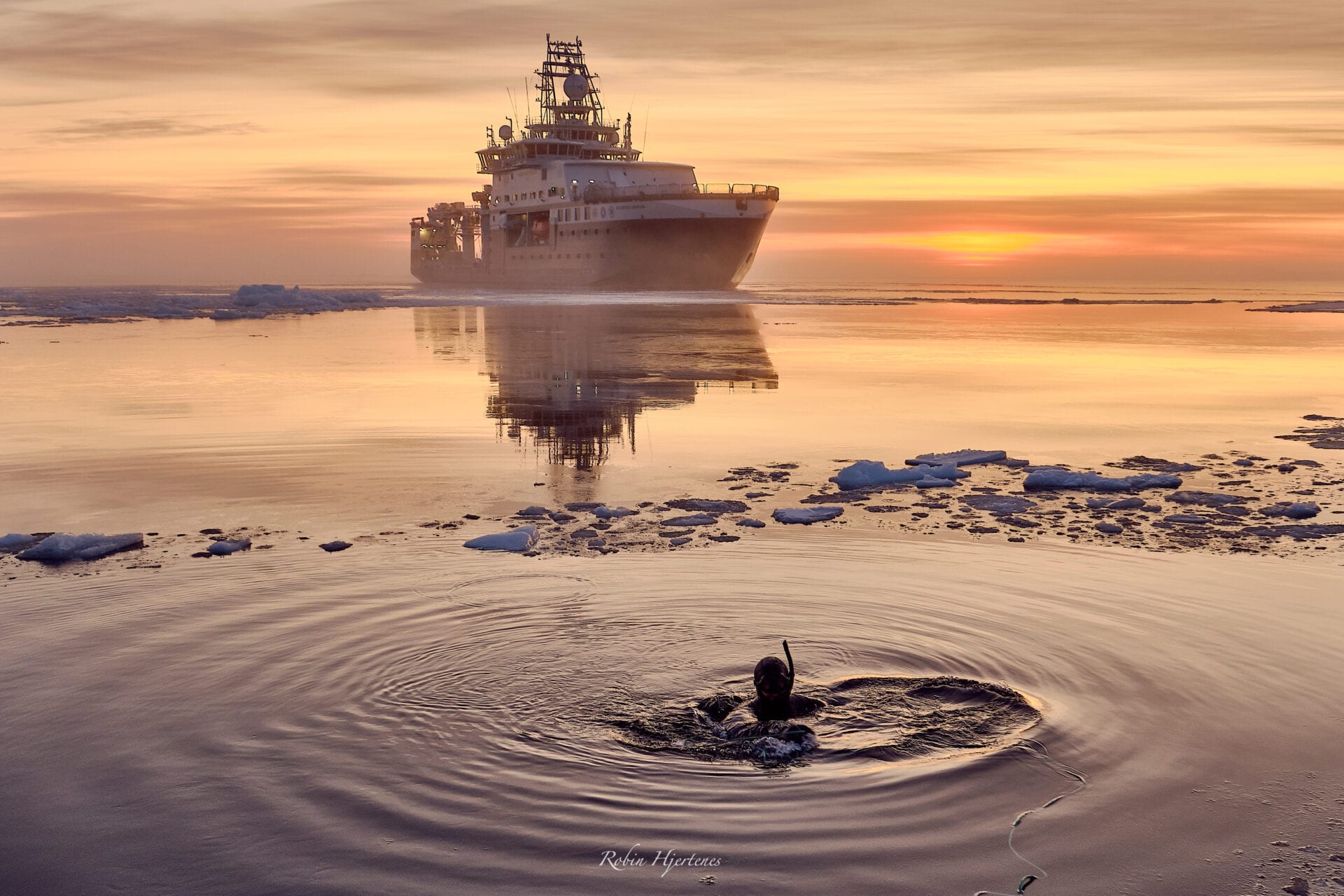
Searching for Aurora with National Geographic on Board
National Geographic joined a nerve-wracking scientific expedition to furthest realms of the Arctic Ocean, to investigate the Aurora Seamount. The goal of the expedition: to see what creatures live in this remote region. Are these Arctic animals linked to animals in other regions of the planet?
Text: Maja Sojtaric
-
Chief Scientists Diary: Jochen Knies
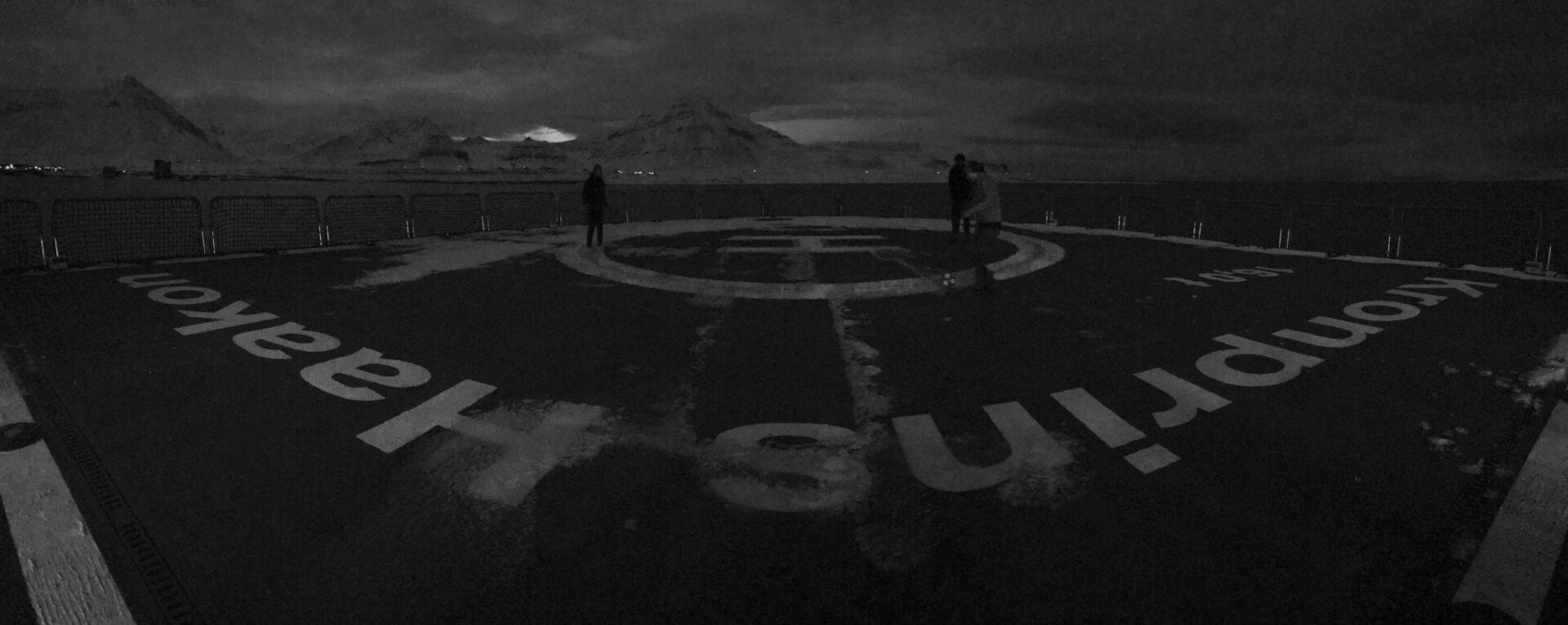
NOVEMBER 7. Dear team and crew: Thank you for your spirit and motivation!
The last Calypso giant piston core came on deck before lunch time. We took the core right in front of Ny Ålesund in Kongsfjorden. The purpose to core in Kongsfjorden was to get a long sequence of Holocene climate variability, the last ca. 10.000 years. The material will provide insight on how climate changed on Svalbard after the end of the last ice age. We ended the scientific program with a BBQ on the Helicopter deck and a visit to Ny Ålesund.
Jochen Knies tending the BBQ onboard RV Kronprins Haakon When I started this adventure, I was looking for samples from the seafloor that could tell us a story of climate change in the Arctic for more than 100.000 years in the past. Well, now after 20 days at sea, I know that the Calypso giant piston corer is certainly the tool to provide the material for this story.
We took 20 Calypso cores and recovered more than 300 m of unique material between Svalbard and Greenland.
All material is safely stored in our cooling container and will be transported back to Tromsø by the end of November. The real work will start there! Analysing just one core can easily take the entire period of a doctoral student. This is normally 3 years. So, back to the keyword “patience”. We won’t continue the story before these 3 years are over. Stay tuned.

The precious material in safely stored in the cooling container. Photo Jochen Knies I wish to thank the Captain and Crew onboard RV “Kronprins Haakon” for all the support to realize our Arctic adventure. It is a pleasure to work with you and your crew. Many thanks to our Calypso team on deck. You made it all happen! Finally, I have a great team of early-stage and senior researcher and engineers. I thank you all for your spirit and motivation during the last 3 weeks.